Hydrography
Hydrographic Data Processing Software Compared for Survey Teams
Choosing hydrographic data processing software starts with one fact: QINSy, Qimera and CARIS HIPS and SIPS do not do the same job. QINSy runs on the vessel during acquisition, while the other two clean and grid data after the survey. This article compares their roles, workflows and practical trade-offs, so you can judge a contractor's software chain with confidence.
Three names, two different jobs
People often list these three packages as if they were rivals. They are not all in the same category. QPS describes QINSy as a package for "survey planning, acquisition, and real-time hydrographic data processing" [1]. Qimera, also from QPS, and CARIS HIPS and SIPS, from Teledyne CARIS, are post-survey processing packages [2][6]. Post-survey processing means cleaning, correcting and gridding the data after it is logged.
Many teams therefore use a combination rather than one product [1][9]. A common chain is QINSy on board, then Qimera or HIPS and SIPS in the office. One honest caveat matters here. No independent study was found that compares the bathymetric results of these packages head to head. Most published claims come from vendors. This article compares roles and workflows. It does not name a winner.
QINSy: acquisition and real-time QC
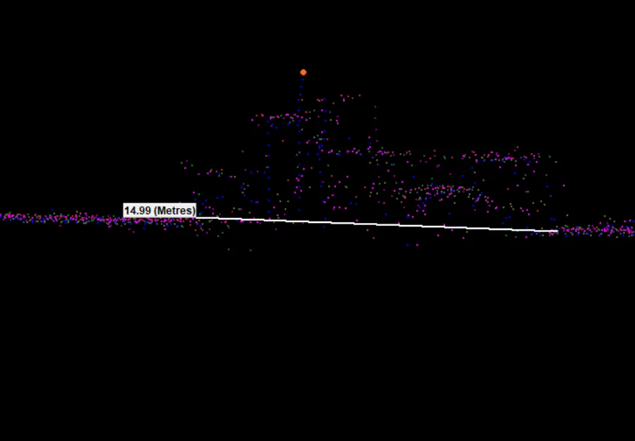
QINSy is built for the vessel. According to QPS, it covers work from single-beam surveys to offshore construction [1]. It accepts single-beam, multibeam, laser, side scan, magnetometer, seismic and sub-bottom profiler data. Position inputs include GNSS, an INS (inertial navigation system), tide, USBL and draft. These can feed a Kalman filter, a method that blends sensors into one real-time 3D position [1].
QINSy produces point clouds, bathymetric grids and side scan mosaics in real time. QPS leaves deeper processing to other products, such as Qimera for processing and validation [1]. Its value is catching problems while the vessel is still on site. In an evaluation co-written by eTrac and QPS staff, an alarm warned when sound speed at the sonar head differed from the last cast by more than 2 m/s [9]. A colour-coded grid of depth spread also helped the operator spot a mounting bias, such as a 1 degree roll error, during acquisition [9].
Qimera and CARIS HIPS and SIPS after the survey
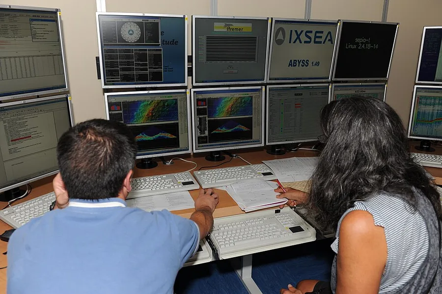
Both processing packages read the main raw sonar formats, apply sound velocity profiles (SVP) and tides, clean the soundings and export grids. The table summarises what their published specifications state. The Qimera column comes from QPS [2][4]. The CARIS column comes from a reseller page and a BRIN service document listing HIPS and SIPS Professional 11.1 [5][6].
| Item | Qimera (QPS) | CARIS HIPS and SIPS |
|---|---|---|
| Raw sonar input (examples) | QINSy DB, ALL, KMALL, S7K, HSX, JSF, GSF | KMALL/ALL, S7K, XTF, Hypack RAW/HSX, Eiva SBD, GSF |
| Cleaning tools | Point cloud editing, Surface Spline filter | Depth and range filters, CUBE, CARIS Mira AI, 3D subset |
| Backscatter | Add-on (Fledermaus Geocoder Toolbox) | SIPS Backscatter Engine |
| Grid outputs | BAG, GeoTIFF, Fledermaus DTM, USGS DEM | BAG, CSAR, GeoTIFF, GeoPDF, ASCII |
| Licensing | Editions plus add-ons; subscription, perpetual or rental | Separate modules; hardware dongle; rent or buy |
Qimera comes in three editions. Qimera 2 Clean edits and grids point clouds without full ray-trace reprocessing. Qimera 2 adds full sonar processing, patch test and a navigation editor. Qimera 2 Offshore adds cable and pipe tracking [2]. Water column, backscatter and S-57 chart features are add-ons [2][4]. HIPS and SIPS processes bathymetry, water column and seabed imagery in one application, according to the reseller [6]. The BRIN document lists separate modules: HIPS Professional, HIPS Essential, SIPS and Engineering Analysis [5].
QPS also claims workflow guards. Qimera's "processing state" marks which files need reprocessing after a change, such as a new SVP strategy. The eTrac and QPS authors say this reduces errors like double corrections [9]. When a QINSy DB file is imported, the vessel offsets and stored SVPs load automatically. The same authors stress that Qimera also works with other acquisition systems [9].
Cleaning, CUBE and uncertainty
Most processing time goes into cleaning. CUBE is a gridding method that uses each sounding's depth and total propagated uncertainty (TPU) to estimate the most likely depth at each grid node [8]. TPU is the combined error from all sensors. IHO S-44 lists CUBE among several methods. It leaves the choice to the hydrographic office, which should consider how the chosen software implements it [8]. NOAA's 2026 specifications require CUBE for its surveys unless project instructions say otherwise [3].
CARIS documents hypothesis editing to validate CUBE surfaces, plus filters based on swath geometry or IHO order accuracy [7]. Qimera's Surface Spline filter removes noise far from a reference surface, with tolerances linked to S-44 [9]. The eTrac authors advise applying it to selections, not whole surveys, for nautical charting work. Otherwise valid soundings may be removed [9]. Automatic filters save time, but a trained processor must still review the result.
Choosing hydrographic data processing software: what to ask
For a project owner, the software brand matters less than the data trail it leaves. These questions help when you review a proposal or write a survey deliverables specification.
- Name both tools. Ask the contractor to state the acquisition software and the processing software separately.
- Get the raw data. Require original raw files plus SVPs, tide data and vessel offset files. Then the data can be reprocessed in any package later.
- Fix the outputs. State the grid format (for example BAG, CSAR or GeoTIFF), the S-44 order and the gridding method [3][8].
- Count the modules. Cost depends on licences and add-ons, not only the base product. Backscatter, water column and chart features may need extra modules [2][5].
- Ask for a processing log. Common errors include wrong offsets, double corrections and forgetting to reprocess after a tide or SVP change [9]. A log shows which corrections were applied and when. Our guide to survey QA/QC checks covers this in more detail.
- Test on your own data. Since most performance claims come from vendors, run a trial before you write a brand into a specification. QPS offers a free Q-Suite trial [2].
These tools are in use in Indonesia. BRIN lists CARIS HIPS and SIPS with a USB dongle licence in its service documents [5]. Open-source options exist too. MB-System, developed since 1993 and now maintained by MBARI, MARUM and CCOM/JHC, is free and runs on Linux and macOS [11]. NOAA's specifications also review files from CARIS, Qimera and MB-System [3].
In short, hydrographic data processing software should be judged as a chain. QINSy guards data quality on the vessel. Qimera or HIPS and SIPS turn raw soundings into checked grids. The best choice is the one your team can run well, with raw data and processing logs you can audit later. For help with cleaning, gridding or independent review of survey datasets, see our data processing services.
References
- QPS, "Qinsy: survey planning, acquisition and real-time processing," QPS, n.d. (accessed 2026), https://www.qps.nl/qinsy/
- QPS, "Qimera," QPS, n.d. (accessed 2026), https://www.qps.nl/qimera/
- NOAA Office of Coast Survey, "Hydrographic Survey Specifications and Deliverables (HSSD), Version 2026.0.01," NOAA, 2026, https://nauticalcharts.noaa.gov/publications/documents/HSSD_2026-0-01.pdf
- QPS, "Qimera all specifications," QPS, n.d. (accessed 2026), https://qps.nl/qimera/all-specifications/
- BRIN, "Perangkat Keras dan Perangkat Lunak (Caris) Pengolahan Data Hidrografi (SOP layanan 7131)," BRIN e-layanan, n.d., https://elsatur.brin.go.id/public/uploads/layanan_file/7131/sop_layanan_7131.pdf
- Unique Group, "Teledyne CARIS HIPS and SIPS hydrographic data processing software," Unique Group (reseller page), n.d., https://uniquegroup.com/product/teledyne-caris-hips-and-sips-hydrographic-data-processing-software
- Teledyne CARIS, "CARIS HIPS and SIPS Help 8.0: Workflow (Quality Control)," Teledyne CARIS, n.d., https://docs.teledynecaris.com/docs/8.0/hips%20and%20sips/CARIS%20HIPS%20and%20SIPS%20Help/workflow.17.07.html
- IHO, "S-44 Standards for Hydrographic Surveys, Edition 6.1.0," IHO, 2022, https://iho.int/uploads/user/pubs/standards/s-44/S-44_Edition_6.1.0.pdf
- D. Neff and M. Wilson, "eTrac's Evaluation of Qimera: Accomplishing the NOAA Workflow," Canadian Hydrographic Conference, 2018, https://na.eventscloud.com/file_uploads/0c0d3a9671fdcb739db23ed1e62d74ad_CHC_2018_eTrac_Qimera_Eval_paper.pdf
- M. Malik et al., "Results from the First Phase of the Seafloor Backscatter Processing Software Inter-Comparison Project," Geosciences 9(12):516, 2019, https://archimer.ifremer.fr/doc/00599/71133
- MBARI, "MB-System," MBARI, n.d. (accessed 2026), https://www.mbari.org/products/research-software/mb-system/
Related Articles