Trusted by leading institutions and companies


We provide international standard data processing solutions for underwater surveys — accurate, efficient, and supported by a team of experienced experts with over a decade of experience.
Trusted by leading institutions and companies
With a foundation of field experience and advanced analytics since 2011, Sonarfix stands as a provider of integrated solutions for hydrographic and geophysical surveys. We have the full capacity to execute your projects from start to finish—beginning with survey planning, mobilization, field data acquisition, advanced processing, through to the final report delivery.
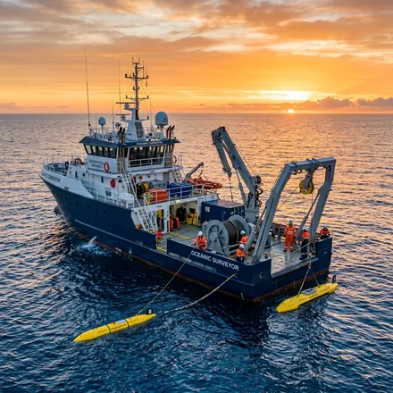
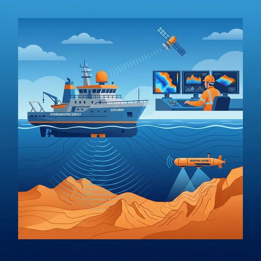
Independence is our quality guarantee. Supported by our own cutting-edge equipment, including Multi-Beam Echo Sounder (MBES) and Side Scan Sonar (SSS), we ensure strict quality control (QC) at every operational phase without dependency on third parties.
Whether you need full-cycle project execution, expert personnel for onboard operations, or remote data processing services, Sonarfix is ready to deliver precise results that fully comply with IHO S-44 standards.

We combine cutting-edge instruments with expert knowledge to deliver accurate, efficient, and reliable survey data for the long-term success of your projects.
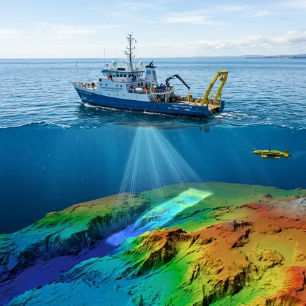
High-precision water depth data acquisition using Multi-Beam Echo Sounder (MBES) and Single-Beam Echo Sounder (SBES) for seafloor mapping.
Learn More ➔Seafloor feature and stratigraphy mapping using Side Scan Sonar (SSS), Sub-Bottom Profiler (SBP), and Magnetometer for geohazard identification.
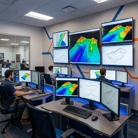
Learn More ➔Processing raw survey data into high-quality 2D/3D spatial information (DEM, contours, sonar mosaics) compliant with international standards IHO S-44.
Learn More ➔Provision of experienced personnel including chief party, hydrographic surveyors, geophysicists, data processors, and survey engineers to support your survey operations.
Learn More ➔We combine our core technical expertise to provide comprehensive, end-to-end survey solutions for your specific sector.
Comprehensive survey for planning submarine cable and pipeline routes. We identify geohazards, physical obstacles, and map bathymetry with high precision to ensure the safety of long-term installation routes.
Comprehensive site investigation before constructing offshore platforms, offshore wind farms, harbor structures, and other marine facilities. Ensuring foundation strength and seabed stability.
Comprehensive monitoring of harbor navigation channels and dredging surveys (*dredging*). We accurately calculate dredging volumes before and after projects to minimize cost deviations and ensure safe ship draft clearance.
Search and Rescue operations, shipwreck mapping, and detection of hazardous objects such as mines or unexploded ordnance (UXO). Utilizing high-resolution sonar sensors for detailed seabed visualization.
We utilize standard maritime software to ensure accuracy and validity of data processing.
Discover technical insights and industry updates from Sonarfix experts.
No ship, no sonar ping, no laser pulse — satellite-derived bathymetry (SDB) estimates how deep the water is using nothing but the color of light reflected back into a camera in orbit.
Read More →A multibeam or side-scan survey doesn't just measure depth — every ping that comes back also carries a signal strength, and that signal strength changes with what the sound bounced off.
Read More →Every instrument a marine survey relies on still needs something to carry it across the water, and for most of the industry's history that something has meant a crewed vessel with people standing watch on deck.
Read More →Consult with our Sonarfix experts to discuss your survey and data processing needs. We're here to provide the best solutions.
Usually replies within minutes