Marine Survey Technology
Marine Geotechnical Investigation: A Case Study in CPT and Vibrocore Sampling for Offshore Wind Foundations
No matter how detailed a side-scan or sub-bottom survey gets, it still can't tell an engineer the shear strength of the clay a monopile is about to be driven into. That number, and dozens like it, only comes from physically touching the seabed — pushing a cone into it, or pulling a sample out of it. A geotechnical site investigation TotalEnergies commissioned for its N12.1 offshore wind farm in the German North Sea shows exactly what that physical step looks like in practice, and why no amount of remote geophysical data can substitute for it.
Why a Geophysical Survey Isn't Enough on Its Own
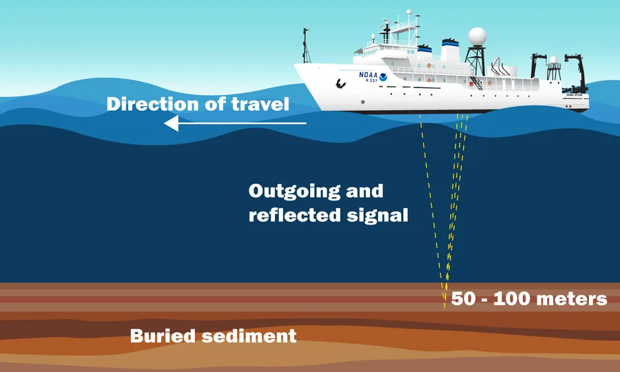
A side-scan sonar image or a sub-bottom profile can locate a hazard and infer its rough character, but neither produces something a structural engineer can plug into a foundation design calculation. Cone resistance, undrained shear strength, sample gradation, water content — these are direct, measured soil properties, and there's no remote-sensing substitute for them. Geotechnical site investigation exists precisely to fill that gap: it doesn't replace the geophysical survey that mapped the site in the first place, it verifies and quantifies what that survey could only infer.
Two Tools, Two Different Jobs
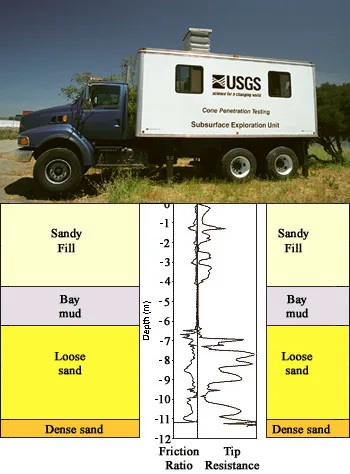
Cone penetration testing (CPT) traces back to a mechanical penetrometer Pieter Barentsen introduced around 1932 while working at the Dutch public works agency Rijkswaterstaat — a 10 cm² cone with a 60° tip, pushed into the ground by hand via gas pipes to measure end-bearing resistance. By 1935, under T.K. Huizinga at Delft's Laboratorium voor Grondmechanica, the first deep CPT test used a 10-ton pushing force, and between 1947 and 1957 Delft's soil mechanics laboratory refined the system into something recognizably close to what's used today. A modern CPT doesn't recover a physical sample at all — it pushes an instrumented cone continuously into the seabed and records a resistance profile with depth, giving a fast, high-resolution picture of soil stratigraphy.
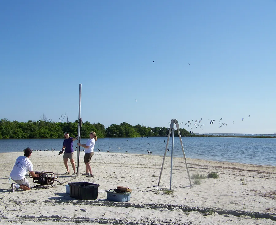
Vibrocoring and piston coring, by contrast, exist to bring an actual sample back to the surface. A vibrocorer drives a thin-walled tube into the seabed using a vibrating head; the vibration briefly liquefies the sediment immediately around the outside of the tube, letting it slide in with comparatively little disturbance to the sediment column trapped inside, typically reaching a few meters to around 6 meters of penetration. A piston corer works differently: it free-falls onto the seabed once a trigger weight touches down, and depending on the system can recover samples from several meters down to more than 20 meters in favorable conditions. Between the two, CPT tells you how the ground resists, and coring tells you what the ground is actually made of.
Case Study: Offshore Wind Farm N12.1, German North Sea
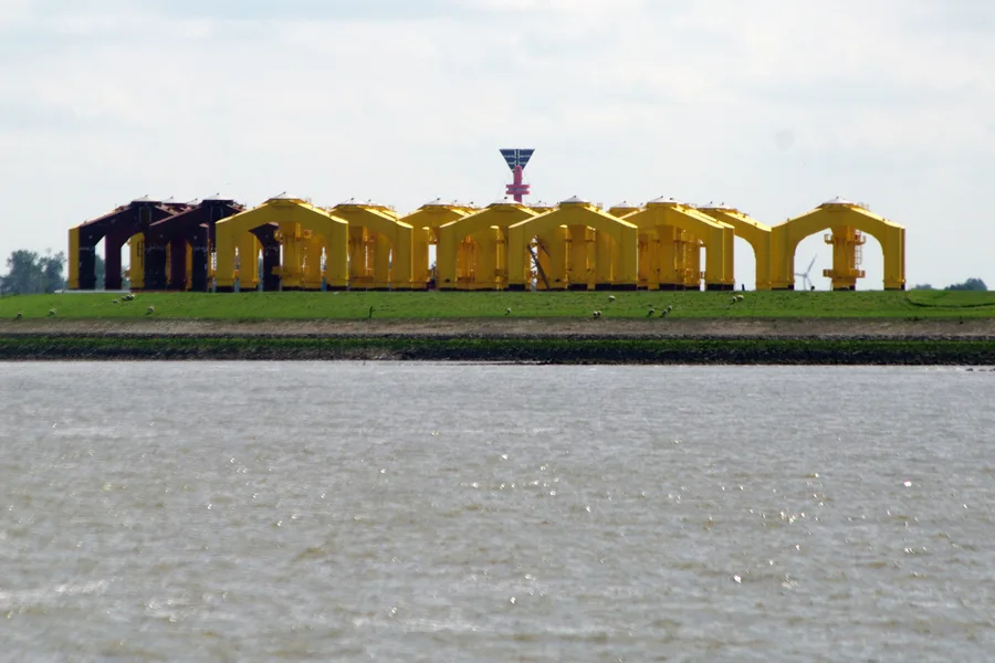
TotalEnergies contracted UTEC, Acteon's geo-services business line, to run a geotechnical site investigation supporting early-stage development of the N12.1 offshore wind farm in German North Sea waters. The scope combined shallow seabed CPT, using a Roson 100kN system, with vibrocore sampling using VKG-6 vibrocores across multiple planned turbine locations, backed by onboard laboratory testing. What stands out about this particular case is less the equipment itself — a Roson seabed frame and a vibrocorer are standard tools in the industry — and more how tightly the operation was run: the survey vessel was sourced, inspected, and formally approved in under two weeks, mobilized in just over two days, and completed its program ahead of schedule with no technical downtime, hitting target penetration depths and recovering usable samples at every planned test site. The data collected — including soil thermal conductivity and electrical resistivity alongside the usual strength and stratigraphy parameters — fed directly into early foundation design work without holding up the client's timeline for the next project phase.
N12.1 isn't an isolated example of how this works. At the Seagreen offshore wind farm off Scotland, the first phase of site investigation involved specialist cone penetrometer testing at almost 100 separate locations, run from a dynamically positioned vessel using thin rod sensors pushed to depths of up to 15 meters, while a second phase used vibrocoring specifically along the route of the planned export cable. Different site, different contractor, same underlying logic: CPT to profile the ground in bulk, vibrocore to sample the sediments a cable or pipeline corridor will actually sit in.
What This Data Actually Unlocks
The depth a survey needs to reach depends entirely on what's going on top of it. Fixed offshore wind foundations — monopiles or multi-leg jackets — generally require geotechnical data down to 50–70 meters below the seabed, because that's roughly the depth range over which the pile has to develop enough skin friction and end-bearing capacity to hold a turbine steady in decades of wind and wave loading. Floating wind installations need less: their anchors don't drive nearly as deep, so the investigation scope, and its cost, shrinks accordingly. Cable and pipeline corridors sit at the shallow end of the scale entirely — a lighter vessel running vibrocores and CPTs to around 5 meters is usually enough to confirm the route is buriable and stable. In every case, the CPT profile and the physical sample are what actually get handed to the structural engineer; the geophysical survey that came before it just told everyone where to point the CPT rig.
Conclusion
A geophysical survey and a geotechnical investigation answer two different questions, and the N12.1 case shows how directly the second one feeds engineering decisions: not as an abstract methodology, but as a specific vessel, a specific CPT system, a specific set of vibrocores, run against a schedule, producing specific numbers a foundation designer can actually use. Nearly a century after Barentsen pushed his first cone into Dutch soil by hand, the tool has moved offshore and the pushing force has grown from muscle to a 100kN hydraulic ram, but the basic exchange — push, measure, sample, verify — hasn't changed at all.
References
- Acteon / UTEC — Rapid Geotechnical Investigation for Offshore Wind Farm N12.1 in the North Sea
- Ground Engineering — Geotech Surveys Completed on Seagreen Offshore Wind Farm Phase Two
- Guide to a Floating Offshore Wind Farm — P.4.2 Geotechnical Surveys
- Emerald Publishing / ICE Proceedings — Early Development of the Dutch Cone Penetrometer Test
- Ocean Instruments — Vibracore Techniques and How It Is Used
- OTS Offshore — Piston Corer & Vibrocorer: Advanced Soil Sampling Capabilities
- U.S. Geological Survey — Cone Penetration Testing (CPT)
Related Articles