Marine Survey Technology
Two Shipwrecks, Two Lessons: How a Maritime Archaeological Survey Actually Gets Done
One of these wrecks was found by sea-cucumber divers who had no idea what they'd stumbled onto. The other was an ambiguous blip on an oil-and-gas company's pipeline route survey, sitting on the seafloor for years before anyone confirmed it was a ship at all. Between a 9th-century Arab dhow off Indonesia and a 19th-century vessel in the Gulf of Mexico, there's no single way a maritime archaeological site gets found — but there is a fairly consistent answer for what has to happen next.
Two Ways to Find a Wreck
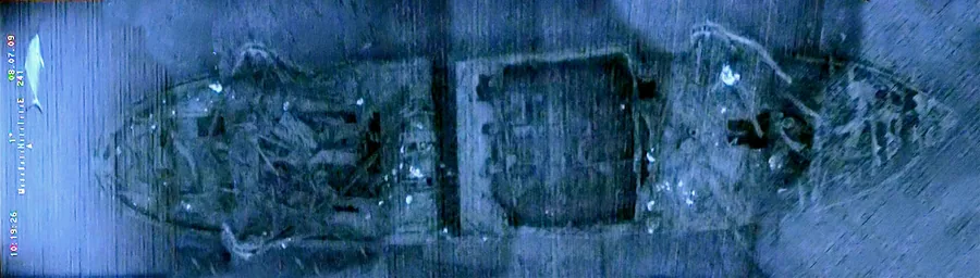
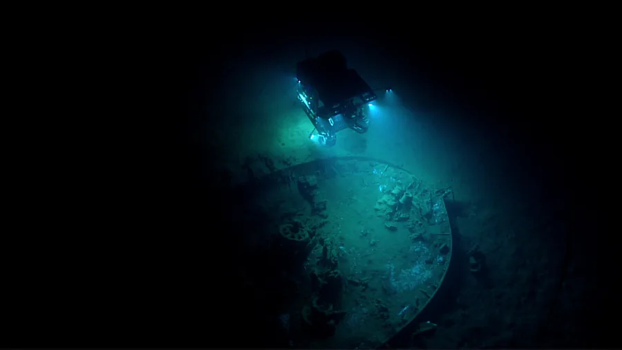
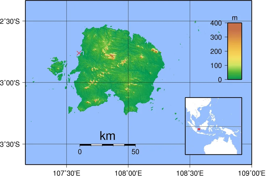
The Belitung shipwreck was found by chance in 1998, in the Gelasa Strait off Belitung Island, Indonesia, by local fishermen diving for sea cucumbers at a depth of about 17 meters — no survey vessel, no instrument, just divers noticing something that wasn't seabed. The Gulf of Mexico wreck now known informally as the Mardi Gras wreck was found almost the opposite way: it first appeared as a nebulous, ambiguous feature during a 2001 remote-sensing survey that Okeanos Gas Gathering Company had commissioned to clear a proposed pipeline route through the Mississippi Canyon leasing area, and its sonar signature wasn't distinctive enough to identify on sight. It took a dedicated ROV inspection of the pipeline corridor in 2002 to confirm that the target was, in fact, the remains of a wooden-hulled vessel. That's not an isolated pattern — offshore oil-and-gas infrastructure surveys routinely turn up historic wrecks as an incidental byproduct of clearing a route, which is exactly why U.S. federal regulators require archaeological review of geophysical survey data before pipeline and platform permits are issued in the first place.
What Happens Once a Wreck Is Confirmed
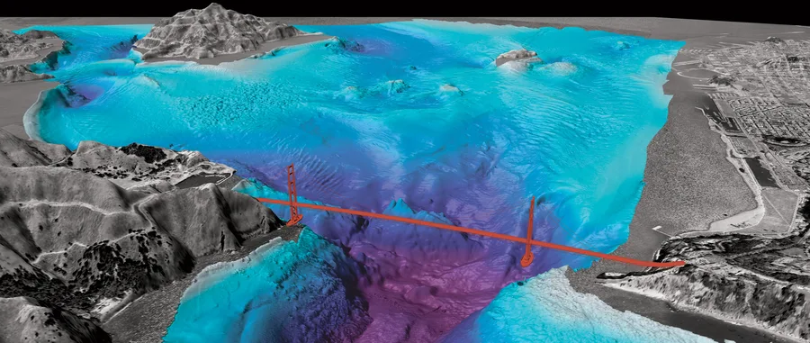
Whichever way a site is found, characterizing it afterward tends to lean on the same combination of instruments, because no single one of them tells the whole story on its own. Side-scan sonar picks up a wreck's shadow and its distinctive reflection against the surrounding seabed; a magnetometer is particularly effective at finding sites with iron content, since ferrous hardware produces a magnetic anomaly long after wood has decayed away; multibeam echosounders add centimetric bathymetry that can reveal a wreck's structure even where it barely protrudes from the seabed; and sub-bottom profilers can find what's fully buried under sediment, which none of the others can see at all. Combining electric, magnetic, and multibeam bathymetric methods specifically reduces the ambiguity that any one technique carries alone — which is exactly why the ambiguous 2001 sonar contact in the Gulf of Mexico needed a follow-up ROV pass before anyone could say with confidence what it was.
Case Study: Permitting and Protocol at Belitung
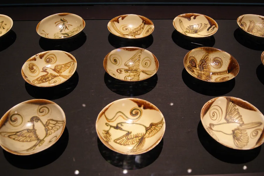
The Belitung site shows the other half of what a maritime archaeological survey involves once a wreck is confirmed: the legal and institutional framework around it, especially inside a national government's territorial waters. The excavation rights were purchased from the fishermen who found the wreck, and a license to excavate was granted to a local Indonesian company; Seabed Explorations, led by Tilman Walterfang, then financed and conducted the excavation under a cooperative agreement with that original license-holder, at the request of the Indonesian government, which provided site security through the Indonesian Navy across two separate expeditions beginning in August 1998 and continuing in 1999. The result was the recovery of more than 60,000 objects — mostly Changsha ware ceramics, alongside gold, silver, and bronze pieces — making Belitung both the first Arab dhow ever found in Southeast Asian waters and the largest single collection of Tang-dynasty artifacts recovered anywhere.
Same Toolkit, Different Trigger
Neither of these sites was discovered because someone set out looking for a shipwreck with a full geophysical toolkit in hand — one turned up under a diver's hand, the other under a pipeline surveyor's sonar. What actually makes a maritime archaeological survey a distinct discipline isn't how a site gets flagged; it's the combined instrument work that follows to confirm and characterize it (the side-scan, magnetometer, multibeam, and sub-bottom combination described above), layered underneath whatever legal and regulatory framework the site happens to fall under — a U.S. federal permitting review in the Gulf of Mexico, a national cultural-heritage license and naval security detail in Indonesian waters. Texas A&M's 2007 excavation of the Gulf wreck and Seabed Explorations' 1998–1999 work at Belitung both had to solve the same underlying problem, just under entirely different flags.
Conclusion
A sea-cucumber diver and an oil-and-gas pipeline crew have nothing in common professionally, yet both ended up as the first human contact with a historically significant shipwreck — one off Indonesia, one in the Gulf of Mexico, thirteen centuries apart in the age of what they found. What happened next in both cases is the part worth calling a methodology: instruments chosen to compensate for each other's blind spots, and a legal process built around whichever nation's waters the wreck happened to rest in.
References
- Wikipedia — Belitung Shipwreck
- UNESCO Silk Roads Programme — The Belitung Shipwreck
- Smithsonian National Museum of Asian Art — Shipwrecked: Tang Treasures and Monsoon Winds
- Bureau of Safety and Environmental Enforcement — MMS Report Details Excavation of Historic Shipwreck
- NOAA Ocean Exploration — BOEM Wreck Site 15377
- ResearchGate — The 'Mardi Gras' Shipwreck: Results of a Deep-Water Excavation, Gulf of Mexico, USA
- Academia.edu — Geophysical Methods in Maritime Archaeology: Application of Side-Scan Sonar in an Archaeological Context
Related Articles