Hydrography
National Hydrographic Office Compared: UKHO, NOAA, Pushidrosal
A national hydrographic office is the government body that surveys the sea and publishes the official charts ships rely on. This article compares three of them: UKHO in the United Kingdom, NOAA Office of Coast Survey in the United States, and Pushidrosal in Indonesia. It also shows what Indonesia's new Perpres 11/2026 means if you order a hydrographic survey.
What a national hydrographic office must do
The duty comes from an international treaty. SOLAS is the convention on safety of life at sea. Its Chapter V, Regulation 9, asks each government to arrange hydrographic surveys. It also asks governments to publish charts, sailing directions, lists of lights, tide tables and notices to mariners. Notices to mariners are short updates that keep charts current. Governments must keep their charts as uniform as possible and follow IHO recommendations.
The IHO is the International Hydrographic Organization. It was formed in 1921, has its secretariat in Monaco, and listed 104 member states in early 2026. A chart is "official" when a government, or an authorized hydrographic office, issues it or issues it on its authority. A survey report from your project is not an official chart. Neither is a contractor's own map.
Today the main official product is the ENC, the electronic navigational chart. An ENC is vector data shown on a ship's ECDIS, the electronic chart system on the bridge. SOLAS accepts an ECDIS with up-to-date ENCs in place of paper charts, as long as the ship has an independent back-up.
Three offices, three models
All three offices serve the same SOLAS duty. They differ in who owns them, who pays for them and how they share data.
| UKHO | NOAA Office of Coast Survey | Pushidrosal | |
|---|---|---|---|
| Parent body | Executive agency of the UK Ministry of Defence | National Ocean Service, NOAA, US Department of Commerce (civilian) | Indonesian Navy (TNI AL) and the armed forces (TNI) |
| Legal base named in sources | SOLAS duty, Framework Document, Government Trading Funds Act 1973 | Act of 1807, Coast and Geodetic Survey Act of 1947, Hydrographic Services Improvement Acts | PP 23/1951, Keppres 164/1960, Perpres 11/2026 |
| Main products | ADMIRALTY ENC, raster and paper charts | NOAA ENC (paper and raster ended December 2024) | Peta Laut Indonesia (PLI), paper and ENC |
| Data policy | Crown copyright, commercial licence | Public domain (CC0) | No licence terms on its chart service page |
UKHO: a government agency that earns its own income
The UK Hydrographic Office sits in Taunton, England, and has about 900 staff. It describes itself as more than 225 years old. It operates as a trading fund, which means it is paid from sales of its ADMIRALTY products. In 2025/26 it reported revenue of 234 million pounds and paid a 12.5 million pound dividend to the Ministry of Defence. UKHO says it is the primary charting authority for 63 coastal states.
Its products are licensed, not free. The copyright team issues re-use licences, and the income must cover the full cost of making the information. UKHO still plans to leave paper chart production, but it will keep serving paper charts until at least 2030. It describes next-generation digital services as based on S-100, the new IHO data standard (see our article on the IHO S-100 data standard).
NOAA Office of Coast Survey: a civilian office with open data
The Coast Survey began with an Act signed by President Jefferson on 10 February 1807. Today it is a civilian office inside NOAA. In December 2024 it cancelled the last of its 1,007 paper charts. ENCs are now its primary chart product. They update every working night.
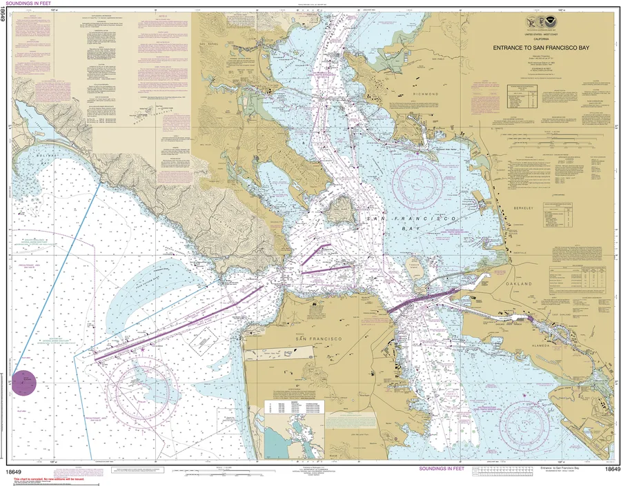
The data policy is the most open of the three. NOAA states that all data acquired by Coast Survey is dedicated to the public domain. NOAA ENCs are free to download from its websites. A reseller such as IC-ENC charges a fee for its added service.
Pushidrosal: a Navy command that is also the national office
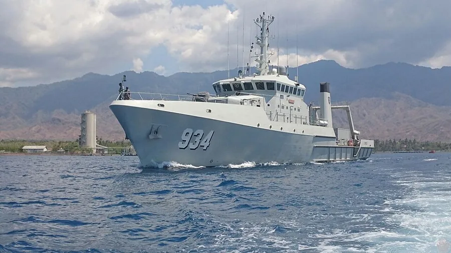
Pushidrosal stands for Pusat Hidro-Oseanografi TNI Angkatan Laut, the Navy's hydro-oceanography centre in Jakarta. Perpres 11/2026 shortens the name to "Pushidros". It is the same body. Pushidrosal is both a military command and Indonesia's national hydrographic institution. It represents the government at the IHO and its regional commissions.
Its roots are older than the Navy. Indonesia's hydrographic work began under the Dutch, and in 1951 a civil hydrographic unit was set up under the shipping service. In 1960 a presidential decree merged it into the Navy. Pushidrosal's website says it holds sole authority to provide official charts and nautical publications for navigation safety. That is the institution's own statement.
A 2022 report to the IHO, with 2021 data, lists 581 paper charts and 558 ENC cells. The same report names its main problem as the availability of recent survey data, especially for remote islands. That matters to you, because a good project survey can fill a real gap.
Do not confuse Pushidrosal with other Indonesian agencies. In general terms, BIG makes base maps, including national marine environment maps. The Directorate General of Sea Transportation looks after navigation aids and maritime safety broadcasts. Pushidrosal makes the official nautical chart. This is a general picture, not a full legal split of duties.
How outside survey data reaches the official chart
In the United Kingdom, the Maritime and Coastguard Agency (MCA) pays contractors for systematic surveys. UKHO checks the data before MCA accepts it, then stores it for use in charts. Port operators and developers can also send their data to MCA, which passes it to UKHO. MCA asks for full-density data, tide reduction from measured tides, and a survey report. UKHO also pays royalties or data fees for third-party data, so access is by agreement, not automatic.
In the United States, NOAA accepts external source data from universities, states and private companies. Each submission needs a data licence, and NOAA suggests CC0. It also runs a five-year contract vehicle with a ceiling of 450 million US dollars, open to governments and non-government parties. NOAA says data collected under it will be incorporated into its charts.
What the national hydrographic office rules mean in Indonesia
Perpres 11/2026 was issued on 11 March 2026. It states that Indonesia had no rule on hydrographic survey before. It sets a path for every survey, whether run by government, a private company or the public.
- Plan: the survey plan must be notified to Pushidrosal. It covers area, standards, methods, vessels, equipment and personnel.
- Licensed surveyors: the work must involve a licensed hydrographic surveyor. Pushidrosal issues the licence.
- Report: raw data, processed data, field notes, field sheets and a survey report must go to Pushidrosal.
- Validation: Pushidrosal validates the results against IHO rules. Validated results become hydrographic information for the official chart.
If a team does not report, Pushidrosal can recommend that agencies refuse future survey approvals for that team. That risk reaches the contractor and the next project. Details of the surveyor licence are left to a defence minister's regulation. Check whether it has been issued before you sign a contract.
What to ask a survey contractor
- Who will notify the survey plan to Pushidrosal, and when?
- Which licensed surveyors will lead the work? See our article on hydrographic surveyor competency and certification.
- Will you deliver full-density data, measured tide reductions, a clear datum and a complete report? The UK's MCA and NOAA ask for these too.
- Who stores and protects the data, and who owns it? The Perpres text does not set data ownership or licence terms, so agree this in the contract.
Cost and time
Notification, surveyor licensing, validation and reporting add administrative steps to a schedule. Time and cost depend mostly on complete reports and clean data. No published figure exists for how long validation takes, so ask for a schedule that allows for it.
Common mistakes
- Treating "a chart exists" as "our survey now counts as official."
- Assuming paper charts are still the standard. NOAA has stopped them, and UKHO plans to.
- Using NOAA ENCs for Indonesian waters. NOAA covers United States waters only.
- Reading "Pushidros" and "Pushidrosal" as two different agencies.
Whichever national hydrographic office applies to your site, ask early how your data will be reported, validated and licensed. In Indonesia, plan for notification, licensed surveyors and full reporting from the first week. If you are scoping a survey, see our hydrographic and bathymetry services.
References
- IMO, "MSC/Circ.1118 Implementation of SOLAS regulation V/9 - Hydrographic services," 27 May 2004, https://dstm.ntou.edu.tw/var/file/71/1071/img/558/MSC.1-Circ.1118-ImplementationOfSolasRegulationV9.HydrographicServices(Secretariat).pdf
- IHO, "Information on IHO Standards related to ENC and ECDIS," v1.1, 2017, https://iho.int/mtg_docs/enc/PSC_Advice_IHO_V1.1.pdf
- IHO, "Map of Member States" and "About the IHO," 2026, https://iho.int/en/map-of-member-states
- UK Hydrographic Office, "Annual Report and Accounts 2025/26," HC 312, 14 July 2026, https://assets.publishing.service.gov.uk/media/6a5a188560a6e36813cb43b0/UKHO_Annual_Report_2025-26.pdf
- UK Hydrographic Office, "Who we are," https://admiralty.co.uk/UKHO/about-us
- GOV.UK, "UKHO announces intention to withdraw from paper chart production," 2 February 2023, https://www.gov.uk/government/news/ukho-announces-intention-to-withdraw-from-paper-chart-production
- UKHO Copyright and Licensing, "About us," https://copyright.ukho.gov.uk/aboutus.aspx
- Maritime and Coastguard Agency, "UK Civil Hydrography Programme (CHP)," GOV.UK, https://www.gov.uk/guidance/uk-civil-hydrography-programme-chp
- Maritime and Coastguard Agency, "Share hydrographic data with Maritime and Coastguard Agency (MCA)," GOV.UK, https://www.gov.uk/guidance/share-hydrographic-data-with-maritime-and-coastguard-agency-mca
- NOAA Office of Coast Survey, "Farewell to traditional nautical charts," https://nauticalcharts.noaa.gov/charts/farewell-to-traditional-nautical-charts.html
- NOAA Office of Coast Survey, "External Source Data" and "Data licensing," https://nauticalcharts.noaa.gov/data/externalsourcedata.html
- NOAA Office of Coast Survey, "Hydrographic Surveys Contract Vehicle," https://nauticalcharts.noaa.gov/data/hydrographic-surveys-contract-vehicle.html
- Pushidrosal, official website, profile and history pages, https://www.pushidrosal.id
- Indonesia, "National Report from Indonesia to the SWPHC-19," IHO, 23-25 February 2022, https://iho.int/uploads/user/Inter-Regional%20Coordination/RHC/SWPHC/SWPHC19/SWPHC19-07N-National%20Report_Indonesia.pdf
- President of Indonesia, "Peraturan Presiden Nomor 11 Tahun 2026 tentang Survei Hidrografi dan Pemetaan Hidrografi Nasional," 11 March 2026, https://peraturan.bpk.go.id/Details/348118/perpres-no-11-tahun-2026
Related Articles