Marine Survey Technology
The Role of the Marine Geophysicist: Turning Signal Into Decisions
Every instrument and system used in a marine survey — side-scan sonar, sub-bottom profiler, multibeam and single-beam echosounders, magnetometers, GNSS and acoustic positioning — produces one thing on its own: raw signal. None of it becomes a safe pipeline route, a cleared UXO corridor, or a geohazard map without someone planning the survey that collects it, watching over the instruments while they run, and interpreting what comes back. That someone is the marine geophysicist, and the role is a lot less glamorous, and a lot more consequential, than the job title suggests.
What the Job Actually Involves
Marine geophysicists are responsible for the planning, execution, and quality control of offshore geophysical surveys, from acquisition design through to interpretation and reporting. In practice that spans the entire chain of a survey campaign: designing it to acquire side-scan sonar, sub-bottom profiler, multibeam or single-beam bathymetry, and magnetometer data at the right line spacing and resolution for the job; specifying and validating the GNSS, RTK, and acoustic positioning that geo-references every one of those readings; watching the instruments in real time to catch data quality problems before they become a re-mobilization; then processing, interpreting, and integrating everything — often alongside geohazard indicators — into a report an engineer or client can actually build on. It's as much a quality-assurance role as a scientific one, and the two are inseparable in practice.
The Discipline's Two Defining Breakthroughs
A 2000 National Academies Press essay reviewing fifty years of U.S. National Science Foundation-funded marine geology and geophysics research identifies exactly two achievements as its crowning results: the development of plate tectonics theory, built from observations of seafloor spreading, magnetic anomalies, and earthquake patterns, and the reconstruction of Earth's paleoclimate from deep-sea sediment cores and oxygen-isotope analysis. Three institutions did most of the early heavy lifting — Lamont-Doherty at Columbia University, with its centralized, data-intensive model; Scripps Institution of Oceanography, more decentralized and collaborative; and Woods Hole Oceanographic Institution, which came to prominence later through submersible technology. Plate tectonics, in particular, rests on a discovery already covered in depth elsewhere — Vine, Matthews, and Morley's 1963 magnetic-striping hypothesis, discussed in the article on marine magnetometers, was one half of the proof. The other half came from an unlikely source inside Lamont's own walls.
A Career Built on Being Told No
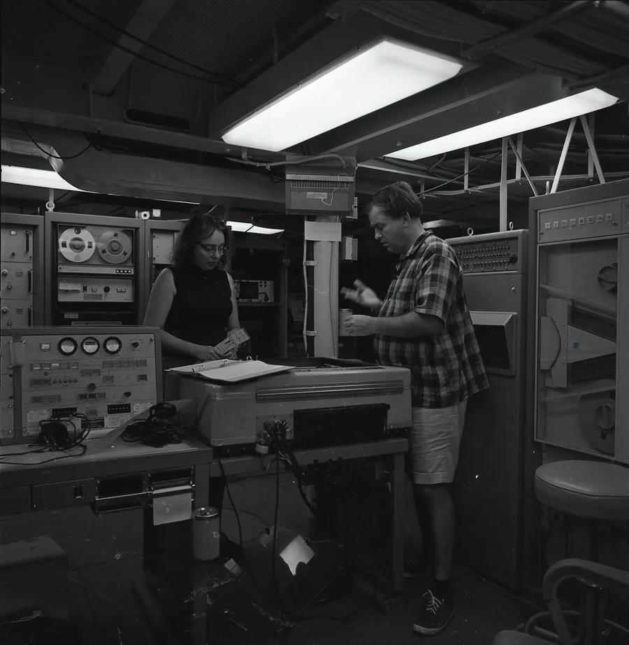
Marie Tharp was hired in 1948 to do drafting work for Maurice Ewing — the same Maurice Ewing credited with the first offshore seismic reflection experiment in 1935 — at Columbia's Lamont Geological Observatory, becoming one of the first women employed there. She and geologist Bruce Heezen began working together, and for the first eighteen years of that partnership, Heezen collected bathymetric data aboard the research vessel Vema while Tharp built maps from it back on land, because women were barred from working aboard research ships at the time.
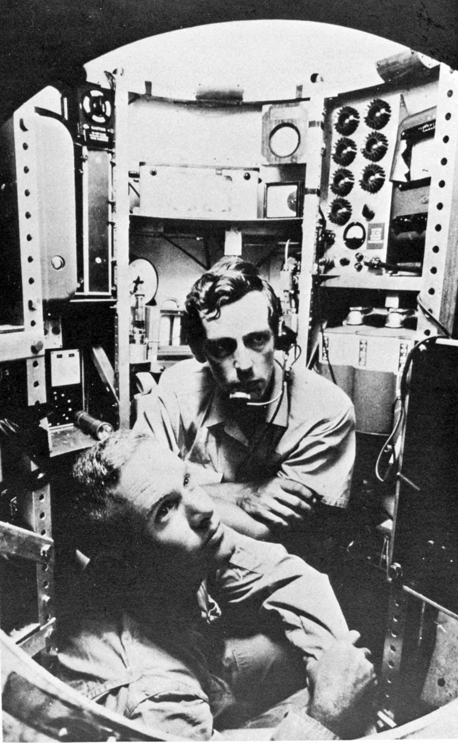
In 1952, working from sounding profiles Heezen had brought back, Tharp identified a v-shaped structure running along the axis of the Mid-Atlantic Ridge and concluded it was a rift valley. Heezen's first reaction was to dismiss it as "girl talk" — partly because accepting it meant accepting continental drift, a theory he opposed at the time in favor of the Expanding Earth hypothesis. It took roughly a year, and an overlay of earthquake epicenter data onto Tharp's rift-valley profile, before Heezen came around. Their first physiographic map of the North Atlantic seafloor was published in 1957, deliberately rendered in an artistic style rather than as a conventional topographic chart to sidestep Cold War-era classification restrictions on seafloor depth data. Tharp herself didn't set foot on a research vessel until 1968, aboard USNS Kane — the same expedition pictured above. Despite her foundational role, her name did not appear on the major plate tectonics papers published between 1959 and 1963. She and Heezen went on to publish The World Ocean Floor, the first complete map of the global seafloor, with National Geographic in 1977, working with Austrian landscape painter Heinrich Berann to render it.
Credentials and Career Path Today
A degree in geophysics, earth science, or a closely related field is the standard entry point, typically alongside a couple of years of supervised field experience before someone is trusted to run a survey independently, plus offshore survival and medical certification for anyone actually going to sea. Beyond formal education, the offshore industry runs on structured competence frameworks: the International Marine Contractors Association (IMCA) publishes a dedicated competence assurance and assessment guidance document for its Offshore Survey Division, setting out entry qualifications, experience thresholds, and assessment criteria surveyors and geophysicists are measured against. Separately, Marine Technology Certification Scheme (MTCS) programs offer graded individual competence certification spanning both hydrographic and seismic geophysicist specializations. Professional societies round out the picture — the Society of Exploration Geophysicists (SEG) and the European Association of Geoscientists and Engineers (EAGE) both run professional-development programs and certificates specifically in seismic acquisition, processing, and interpretation, and membership in either is a common marker of standing in the field.
Where the Role Is Headed
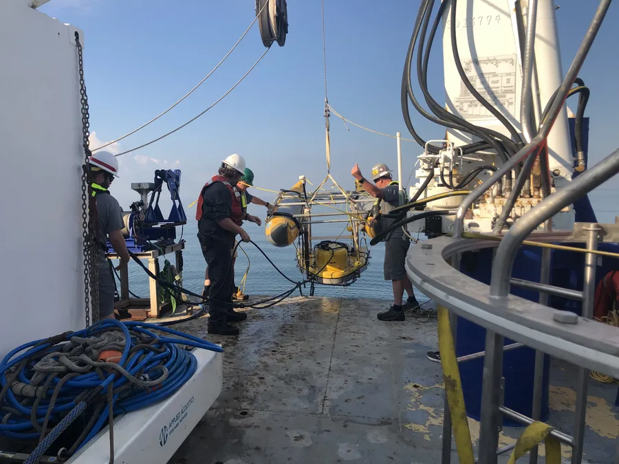
The tools a marine geophysicist supervises have changed faster than the underlying job description. GNSS/INS integration, covered in the article on positioning systems, has pushed uncrewed surface vessels into routine survey work, shifting part of the job from hands-on instrument operation toward remote monitoring and QC of data streaming back from a vehicle nobody is standing next to. The rapid growth of offshore wind has pulled geohazard assessment — slope stability, shallow gas, buried obstructions — much further forward in the project timeline than it used to sit for oil and gas work, because a wind farm's entire foundation design now depends on getting that assessment right before a single turbine location is fixed. None of that changes what the role fundamentally is: someone has to stand between raw acoustic, magnetic, and satellite signal and the decision an engineer is willing to stake a structure on.
Conclusion
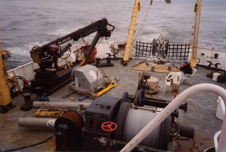
Behind every marine survey instrument, one way or another, is a signal: acoustic returns, magnetic anomalies, satellite ranges. None of that signal interprets itself. From Marie Tharp building the first accurate maps of the Atlantic floor from data she wasn't allowed to help collect, to a modern Chief Scientist running the night shift aboard a NOAA research vessel, the marine geophysicist has always been the person who turns instrument output into something an engineer, a regulator, or a client can trust enough to act on. That's what makes the role indispensable, however little attention the job title tends to get.
References
- McNutt, M.K. (2000) — Achievements in Marine Geology and Geophysics: 50 Years of Ocean Discovery, National Academies Press
- Wikipedia — Marie Tharp; Marine Geophysics
- Lamont-Doherty Earth Observatory — About Marie Tharp
- Wikimedia Commons / AIP Emilio Segrè Visual Archives — Bruce Heezen and Marie Tharp Working with Fathometer Record, USNS Kane Collection
- International Marine Contractors Association (IMCA) — Guidance on Competence Assurance and Assessment: Offshore Survey Division
- Marine Technology Certification Scheme (MTCS) — Individual Competence Certification
- SEG Wiki — Marine Geophysics
- ECO Canada — Marine Geophysicist Career Profile
- USGS — USGS Researchers Aboard NOAA Ship R/V McArthur; Seismic Survey, Mississippi River Delta Front

Related Articles
Positioning Systems in Marine Survey: From GPS Satellites to Seafloor Transponders
Applications of Marine Magnetometers and Gradiometers: The Instrument That Sees Iron, Not Shape