Marine Survey Technology
Multi-Sensor Data Integration on a Survey Vessel: One Reference Frame, Many Instruments
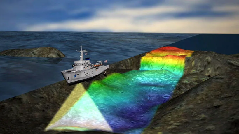
A modern survey vessel rarely carries just one instrument. A single hull might mount a multibeam echosounder, a towed side-scan sonar, a magnetometer, and a sub-bottom profiler, all logging simultaneously on the same transit. None of that data means anything combined unless every sensor's measurements are traced back to the same physical point on the vessel, at the same instant in time — which is a harder problem than it sounds.
Every Sensor Measures From a Different Place
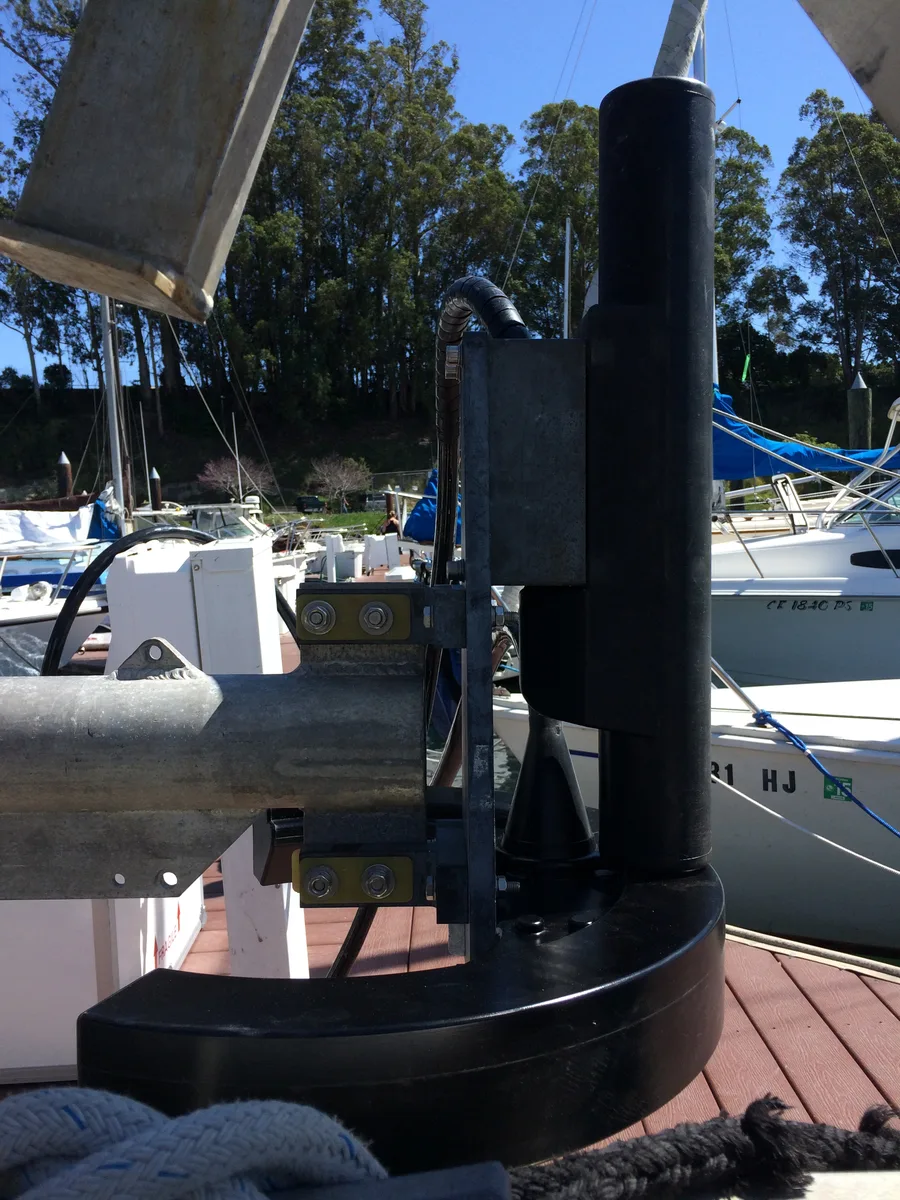
A multibeam transducer might be hull-mounted three metres forward of the vessel's centre of gravity; the GNSS antenna sits on a mast two metres higher and one metre aft; the motion sensor is bolted to a bracket somewhere else entirely. Each of those offsets — expressed as X, Y, Z distances from a single Vessel Reference Point (VRP), sometimes called the Common Reference Point (CRP) — has to be measured and entered into the acquisition software before any of the sensors' outputs can be combined into one coherent model of the seafloor. Industry practice calls these lever arm offsets, and typical measurement tolerances are tight: around ±0.01 metres (95% confidence) for control points such as the VRP itself, and about ±0.02 metres (95% confidence) for the offsets of individual sensors within that reference frame. Get a lever arm wrong by even a few centimetres and every depth or position the multibeam reports will carry that error forward into the final surface.
Boresight Angles Correct for How the Sensor Is Mounted, Not Just Where
Offsets alone only fix position; they don't fix orientation. A multibeam head is never perfectly aligned with the vessel's own roll, pitch, and yaw axes — it is bolted on at whatever small angle the installation actually achieved — so a patch test is run to solve for the residual boresight misalignment in each of those three angles, plus the timing latency between a GNSS position fix and the multibeam system actually applying it. The same logic extends to every other sensor sharing the hull: a magnetometer towed on a cable behind the vessel introduces its own time-varying offset from the VRP as the tow cable pays out or the vessel turns, and a hull-mounted sub-bottom profiler carries its own boresight relative to the multibeam, even though both are rigidly fixed to the same ship.
Running Several Sonars at Once Without Them Interfering With Each Other
Sensor fusion introduces a second problem that a single-instrument survey never faces: acoustic interference. A multibeam, a side-scan sonar, and a sub-bottom profiler operating simultaneously on the same vessel can each pick up the others' transmitted pulses as noise, degrading data quality on all three systems at once. Common mitigation strategies include separating the operating frequencies of each instrument so their return signals don't overlap, or time-division multiplexing — synchronizing or deliberately staggering the pulse timing of each sensor so that no two instruments are transmitting or listening at the same instant.
Case Study: A Single-Pass Survey Across Two Floating Wind Sites
Acteon's site characterisation campaign for the Bellrock and Broadshore floating offshore wind sites is a working example of what integrated multi-sensor acquisition looks like at scale. Rather than running separate passes for each instrument, the survey combined multibeam echosounder, side-scan sonar, magnetometer, and sub-bottom profiler data collected simultaneously, using a tailored interference-mitigation strategy to keep all four systems usable at once. The campaign logged more than 3,100 kilometres of survey data across both sites, with the multibeam achieving 0.5 by 0.5 metre resolution, and was paired with 35 geotechnical boreholes drilled using UTEC's PROD seabed drilling system, which achieved roughly 80% average sample recovery in sandy soil conditions.
Case Study: When Sensor Fusion Finds Something Nobody Was Looking For
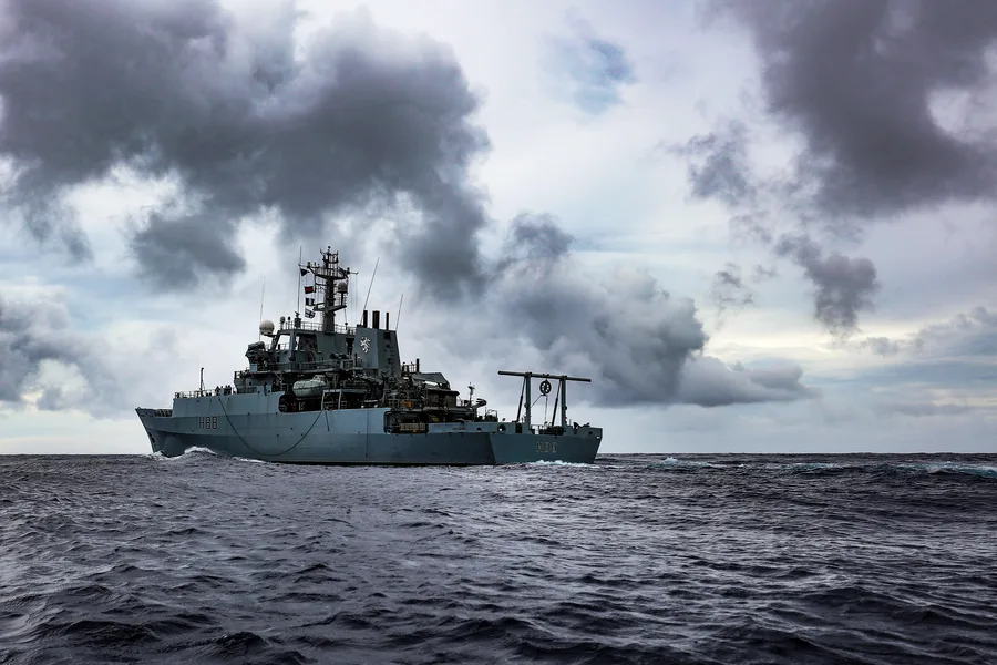
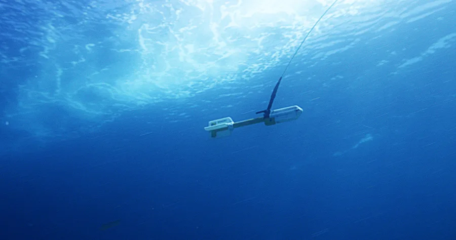
During a June 2022 survey of the MarramWind offshore wind site off Scotland, Fugro's survey vessel Galaxy was towing a side-scan sonar when the sonar operator flagged a potential obstruction on the seafloor. The towed sonar was quickly raised to avoid a tow collision, and the vessel's hull-mounted multibeam was used to confirm depth readings over the same location, revealing a solid object roughly 100 metres long. A sub-bottom profiler pass over the same coordinates then showed disturbance layers in the sediment consistent with a large buried object rather than a natural seabed feature. Combined, the three data sets identified the wreck as the SS Tobol, a Russian vessel torpedoed in 1917 — a discovery that depended on side-scan, multibeam, and sub-bottom data being interpreted together, in real time, rather than as three separate deliverables processed later in the office.
Integration Is a Discipline, Not a Feature of the Software
Acquisition software can log four sensors into one file, but it cannot decide the lever arms, resolve the boresight angles, or choose an interference-mitigation scheme on its own — those are surveying decisions made before the vessel ever leaves the dock, then verified through patch testing and calibration once it's underway. The payoff for getting that discipline right is a dataset where a magnetometer anomaly, a sub-bottom reflector, and a multibeam depth reading can all be trusted to describe the same point on the seafloor, which is exactly what let a routine wind farm survey turn into a shipwreck identification instead of three inconclusive data sets.
References
- Hydro International, "Mobilizing a POS MV OceanMaster for Hydrographic Survey," https://www.hydro-international.com/case-study/mobilizing-a-pos-mv-oceanmaster-for-hydrographic-survey
- WSD Survey, "Patch Test - Hydrographic Surveying Solution," https://wsd-survey.com/patch-test-mbes-hydrographic-survey-hydrospatial-roll-latency-pitch-yaw/
- Acteon, "Integrated Site Characterisation Supports Bellrock and Broadshore Floating Wind," https://acteon.com/insights/case-studies/integrated-site-characterisation-supports-bellrock-broadshore-floating-wind
- Fugro, "Charting the Future, Finding the Past: The MarramWind Shipwreck Discovery," https://www.fugro.com/news/long-reads/2025/charting-the-future-finding-the-past-marramwind-shipwreck-discovery
- PeerJ Computer Science, "Multi-Sensor Data Fusion in Maritime Surveillance: A Review on Methods and Applications," https://peerj.com/articles/cs-3765/
Related Articles