Marine Survey Technology
Multichannel Seismic Reflection in Practice: The Coelacanth Discovery in the Gulf of Mexico
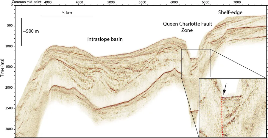
A sub-bottom profiler is built to see the first few dozen meters beneath the seafloor in fine detail — exactly the scale a pipeline or a foundation needs. Multichannel seismic reflection gives up almost all of that fine detail in exchange for something else entirely: the ability to see miles down, through kilometers of rock, to structures that took millions of years to form. It's the difference between reading a page and reading a library, and one real discovery in the Gulf of Mexico shows what that library-scale view is actually worth.
Why Single-Channel Wasn't Enough
Early seismic reflection recorded one shot and one receiver at a time, and the resulting image was noisy enough that deep or structurally complex targets were often unreadable. The fix, proposed by geophysicist Harry Mayne around 1956 and formally published in 1962, was to record the same point on a subsurface reflector many times over, using different combinations of shot and receiver positions, then combine all those recordings algebraically after correcting for the different travel times involved. That's the essence of the common depth point (CDP) method: instead of trusting one noisy recording of a subsurface point, stack dozens of them together so genuine reflections reinforce each other while random noise cancels out. Adoption was slow until word of mouth around the 1960 SEG Annual Meeting in Galveston, Texas, turned into a rush of licensing — and once it caught on, CDP stacking made almost all older seismic data obsolete for petroleum exploration, because areas once considered unreadable turned out to hold interpretable structure all along.
How a Modern Streamer Survey Works
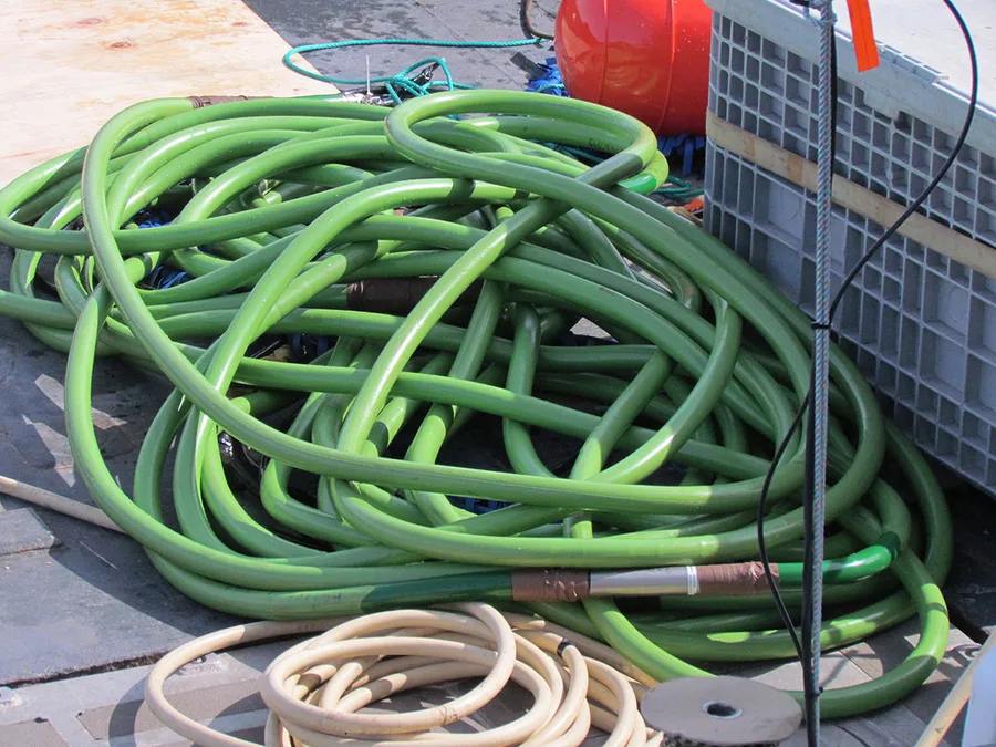
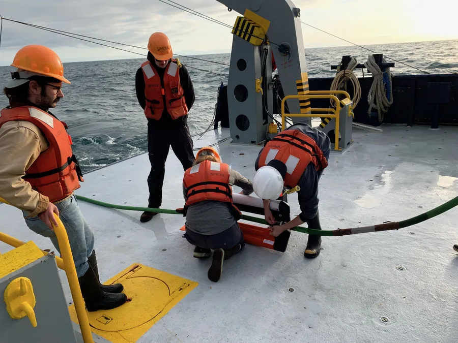
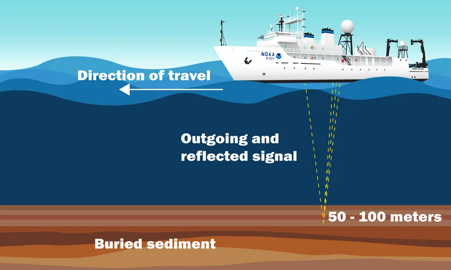
A modern multichannel survey tows one or more hydrophone streamers behind a vessel, each up to 10–12 kilometers long, recording the echoes of a controlled acoustic source (typically an airgun array) fired at regular intervals. A 2D survey runs a single line of receivers along the ship's track; a 3D survey adds multiple streamers spread laterally, building a genuine volumetric image of the subsurface rather than a single cross-section. Every survey design balances the same trade-off: a larger source generates more energy and penetrates deeper, but a smaller, more tightly controlled source preserves finer resolution — and for surveys aiming to image all the way down to the crustal basement, penetration usually wins.
Case Study: The Coelacanth Discovery, Gulf of Mexico
In 2006, Walter Oil & Gas Corporation leased Ewing Bank block 834, roughly 125 miles south of New Orleans in 1,186 feet of water. Two years later, the company acquired TGS-Nopec's "Sophie's Resolve" 3D seismic survey, a 5,000-square-mile dataset acquired in 2007 using processing and migration techniques sophisticated enough to image deep, geopressured sections and complex salt structures that older surveys in the area couldn't resolve. That imaging revealed hydrocarbon indicators around 20,000 feet down, adjacent to a buried and overhung salt dome — well beyond the depth any existing well in the block had reached. Walter spudded an exploratory well on March 23, 2010, but drilling stopped at 15,000 feet when the Deepwater Horizon incident halted Gulf of Mexico operations. Drilling resumed in February 2012 using the semisubmersible Ocean Victory, reaching the full 21,000-foot target depth and encountering oil in several zones with reserves large enough to justify development. Unitization of the discovery was approved in April 2015, a production platform standing 1,312 feet tall and weighing roughly 30,000 short tons sailed away to the site on October 15, 2015, and first production followed in mid-2016.
What Made the Difference
Nothing about the geology at Ewing Bank 834 changed between whenever earlier, lower-fold vintage seismic had been shot over the block and 2007 — what changed was the ability to see it. A high-fold 3D survey stacks far more overlapping traces per subsurface point than older, sparser surveys ever could, which is precisely the advantage Mayne's original CDP insight scales up to: more independent looks at the same reflection point mean more noise cancels out and more of the genuine signal survives, especially in structurally complicated settings like the flank of a salt dome where reflections bend and scatter in ways a thin dataset simply can't untangle. Sophie's Resolve wasn't a new idea; it was six decades of incremental improvement on Mayne's stacking principle, applied at a scale and with processing power he never had.
Conclusion
A geophysicist's idea from 1956 about combining noisy recordings algebraically doesn't sound like the reason a 1,312-foot platform now stands in the Gulf of Mexico producing oil from 21,000 feet down — but it is, in every practical sense. Between Harry Mayne's original common-depth-point stack and Walter Oil & Gas's Coelacanth discovery lies nothing more exotic than sixty years of doing the same basic thing better: recording the same point in the earth from more angles, and trusting the average of many honest looks over any single noisy one.
References
- SEG Wiki — Harry Mayne, Society of Exploration Geophysicists
- IEEE Xplore — The Common Depth Point Stack
- ResearchGate — Fifty Years of Stacking
- Walter Oil & Gas Corporation — Coelacanth Project
- ScienceDirect — 3D Mapping of Intruding Salt Bodies in the Subsurface of the Gulf of Mexico Using 3D Seismic Data
- U.S. Geological Survey — Marine Seismic Imaging, Coastal and Marine Hazards and Resources Program
- Fraunhofer IWES — Multichannel Seismic Survey of Offshore Subsoil
Related Articles
Applications of Sub-Bottom Profilers in Underwater Surveys
Geohazards in Marine Construction: Why Survey Comes Before Engineering