Geofisika & Geohazard
Environmental Baseline Survey: The Other Data Set Every Offshore Project Needs
Every offshore project covered elsewhere on this site — geohazard assessment, geotechnical investigation, cable and pipeline routing — answers an engineering question: is this seabed safe and stable to build on. An environmental baseline survey (EBS) runs alongside that work asking a completely different question: what is actually living here, in the water and on the seabed, before construction changes it. Regulators require the answer not out of curiosity, but because without it, nobody can prove what a project changed.
What an Environmental Baseline Actually Covers
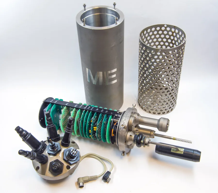
An EBS typically combines seabed imaging, benthic grab sampling, water quality monitoring, environmental DNA (eDNA) sampling, and fish surveys — increasingly using non-intrusive methods like baited remote underwater video (BRUV) rather than physically capturing fish. In the water column, Conductivity-Temperature-Depth (CTD) profiling is run at each sampling location alongside surface and bottom water eDNA sampling, capturing the physical and chemical conditions a construction project could later disturb.
Sampling What's on the Seabed
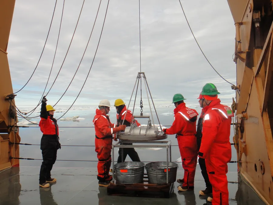
For the seabed itself, the standard tool is the Dual Van Veen grab (commonly two 0.1-square-metre bites per deployment), with a Hamon grab kept as a secondary sampler for coarser sediment where a Van Veen grab won't bite cleanly. Multiple replicate grabs are taken at each station: some processed for biological macro-invertebrates, sieved through 500 or 1000-micron mesh depending on the survey's target fauna, and others sub-sampled for physico-chemical analysis — grain size distribution and organic content, the latter usually determined by loss on ignition. Infauna recovered from the biological samples are identified taxonomically and quantified by abundance and biomass, building the picture of what community of worms, crustaceans, and molluscs actually occupies the sediment before anything is built.
Case in Point: A Four-Year Baseline at Alpha Ventus
Germany's first offshore wind farm, alpha ventus in the German Bight, southeastern North Sea, ran one of the more thoroughly documented benthic baseline programmes in the industry — annual sampling from 2008 through 2011, spanning the pre-construction baseline, the construction phase, and early operation. The design used four transects inside the windfarm area with seven stations each spaced 100 metres apart, plus four reference transects outside the windfarm with four stations each spaced 200 metres apart, all sampled with a 0.1-square-metre Van Veen grab and a 1000-micron sieve for macroinfauna, alongside a finer sediment grain-size analysis run through 4000, 2000, 1000, 500, 250, 125, and 63-micron sieves.
Across the full programme, the survey processed 336 samples from inside the windfarm and 192 from the reference areas, identifying 103 infauna taxa — 89 percent resolved to species level — dominated by polychaete worms, crustaceans, and bivalves, totalling 88,370 individual organisms and 9.7 kilograms of combined biomass. The seabed itself was consistently characterised as fine sand with organic content below 1 percent dry mass across every year and every location sampled, a stable sediment baseline against which any construction-phase or operational change could be measured.
Why the Baseline Only Pays Off Later
A baseline survey's data has essentially no value in isolation — its entire purpose is to be compared against monitoring data collected during and after construction. The alpha ventus programme worked precisely because it kept running past the baseline year, into construction and operation, using an identical sampling design each time. A one-off baseline that never gets revisited with the same methodology can satisfy a permitting checkbox, but it can't actually answer the question regulators and the public eventually ask: did this project change what was living here, and by how much.
References
- Ocean Ecology, "Environmental Baseline Survey Services," https://ocean-ecology.com/services/environmental-baseline-surveys/
- NOAA Fisheries, "Regional Standards for Offshore Wind Project-Level Monitoring," https://www.fisheries.noaa.gov/s3/2025-09/Regional-Standards-for-Offshore-Wind-Project-Level-Monitoring_07252025-508gw_lm_as.pdf
- West of Orkney Windfarm, "Offshore EIA Report — Chapter 10: Benthic Subtidal and Intertidal Ecology," https://www.westoforkney.com/application/files/3216/9573/0266/West_of_Orkney_Windfarm_Offshore_EIA_Report_-_Chapter_10_-_Benthic_subtidal_and_intertidal_ecology.pdf
- "Data on Benthic Species Assemblages and Seafloor Sediment Characteristics in an Offshore Windfarm in the Southeastern North Sea," PMC/National Library of Medicine, https://pmc.ncbi.nlm.nih.gov/articles/PMC9772806/
- Dogger Bank Wind Farm, "Environmental Statement Chapter 12 Appendix B1 — Tranche A Benthic Survey Report," https://doggerbank.com/wp-content/uploads/2021/11/ES-Chapter-12-Appendix-B1-Tranche-A-Benthic-Survey-Report_Part1.pdf
Related Articles
Benthic Habitat Mapping: Turning Backscatter and Ground-Truth Into a Seafloor Ecosystem Map
Geohazards in Marine Construction: Why Survey Comes Before Engineering