Hidrografi
IHO S-100: The Future of Hydrographic Data Standards
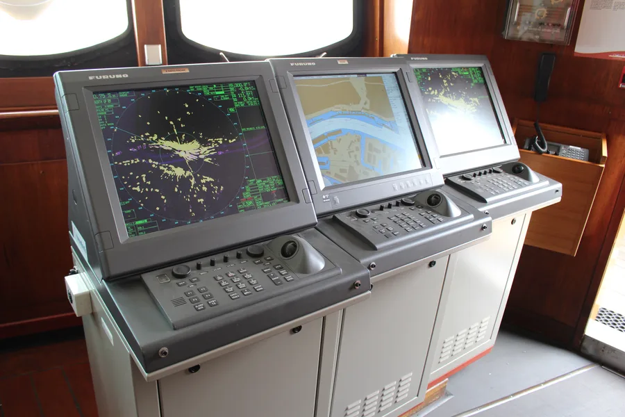
For decades, an electronic chart has meant one thing: an S-57 file, a fixed format carrying a fixed set of symbols, decoded by an ECDIS built to read exactly that structure and nothing else. The International Hydrographic Organization is now replacing that single format with something structurally different — not a bigger chart format, but a framework that lets dozens of separate data products, from bathymetry to tidal predictions to marine protected areas, speak the same underlying language and layer on top of one another. That framework is called S-100, and it is quietly becoming the foundation everything else in modern hydrography gets built on.
From One Format to a Family of Standards
S-100 did not appear overnight. The IHO began developing it in 2001 and published the standard for the first time in 2010, building it on the ISO 19100 series of geographic information standards rather than inventing a bespoke hydrographic-only schema from scratch. That choice matters: it means S-100 data can, in principle, interoperate with the broader world of geospatial information systems, not just with purpose-built marine chart software. The standard has continued to evolve since — edition 4.0.0 arrived in December 2018, and by June 2024 the IHO had adopted edition 5.2.0, each revision refining the framework as real product specifications were built on top of it and exposed gaps the original design hadn't anticipated.
Structurally, S-100 is not a single specification but an umbrella of interlocking parts covering encoding rules, metadata, feature catalogues, portrayal (how data should be symbolised on screen), and the process for defining an entirely new product specification. Any organisation — not only the IHO itself, but also bodies like the International Association of Marine Aids to Navigation and Lighthouse Authorities (IALA) or the World Meteorological Organization (WMO) — can use that shared toolkit to publish its own S-100-based product specification, so long as it follows the common rules for encoding, cataloguing, and portrayal. That is the real departure from S-57: instead of one organisation maintaining one monolithic format, S-100 is a common grammar that many organisations can use to publish mutually compatible data products.
The Building Blocks: A Growing Catalog of Product Specifications
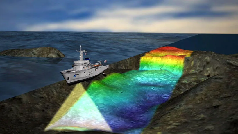
The most visible S-100-based product is S-101, the next-generation Electronic Navigational Chart, designed as a direct successor to S-57. S-101 keeps a broadly similar look and feel to the charts mariners already know, but with sharper detail, cleaner symbology, and — crucially — the ability to sit alongside other S-100 data layers rather than standing alone. That is where the rest of the catalog comes in. S-102 carries high-resolution bathymetric surfaces, offering far denser depth information than an ENC's traditional soundings. S-104 delivers water-level information for surface navigation, and S-111 delivers surface currents — both designed to feed directly into dynamic under-keel clearance systems like S-129 (a standard we've covered in the context of port and channel surveys). Beyond navigation itself, the registry now includes S-121 for maritime limits and boundaries, S-122 for marine protected areas, S-124 for navigational warnings, and S-131 for marine harbour infrastructure, among others. By 2026, more than 25 S-100-based specifications had been published or were in active development across the IHO, IALA, the International Electrotechnical Commission's marine electronics committee (IEC-TC80), and other maritime bodies — a catalog that continues to expand as new use cases are identified.
Each of these specifications is built the same way: a machine-readable feature catalogue (what real-world things the data can represent), a portrayal catalogue (how those things should look on a screen), an encoding guide, and at least one data encoding format. That consistency is deliberate. It means a display system built to handle the S-100 framework doesn't need bespoke code for every new product specification that comes along — it can, in principle, read the catalogue and work out how to display the data it describes. That "plug-and-play" quality is the main efficiency argument for the whole framework: hydrographic offices and equipment manufacturers stop reinventing data-handling logic for every new product and instead extend a shared system.
Why This Matters More Than a Format Swap
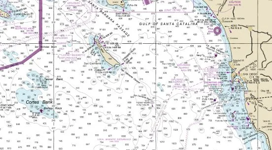
It's tempting to read all of this as a technical footnote — a file format upgrade that matters to software engineers and not much to anyone actually running a survey or standing a bridge watch. That undersells what's changing. Under S-57, adding a genuinely new kind of maritime data (say, real-time surface current forecasts, or marine protected area boundaries) meant either shoehorning it into a format never designed to carry it, or building an entirely separate, non-interoperable system to display it alongside the official chart. Under S-100, that same data can be published as its own product specification, built with the same toolkit as the ENC itself, and displayed as a layer on the same screen, using the same underlying feature and portrayal logic. The chart stops being a single static picture and becomes one layer among many that a mariner, a port authority, or a survey planner can turn on and off as needed.
For hydrographic offices and surveyors, the practical implication is that the data being collected today — bathymetry, tidal observations, current profiles — increasingly needs to be structured with S-100-based delivery in mind from the outset, not converted into it as an afterthought once a survey is complete. A dataset built cleanly to S-102 or S-104 specifications from the start slots directly into the wider S-100 ecosystem; one converted later from a legacy format often carries gaps or inconsistencies that only surface once someone tries to combine it with other S-100 layers.
The Slow, Deliberate Transition
None of this is arriving as an abrupt cutover, and the timeline reflects just how conservative maritime safety regulation tends to be. The IMO adopted revised ECDIS performance standards (MSC.530(106)) in November 2022, establishing the regulatory basis for S-100-capable equipment to eventually be type-approved. As of early 2026, new ECDIS installations can still be built to either the older performance standard (MSC.232(82)) or the new one, because S-100-compatible systems are still working through testing and type-approval processes rather than being commercially available off the shelf. Type-approved S-100 ECDIS units are only expected to become commercially purchasable around 2028. It is not until January 1, 2029, that any newly installed or retrofitted ECDIS will be required to meet the new standard and support S-100 data.
Throughout this period, the IHO has been explicit that both formats will run in parallel — a "dual fuel" approach, in the industry's own phrase — with existing S-57 ENCs continuing to be produced and used alongside the newer S-101 charts wherever they become available. There is, notably, no announced date for withdrawing S-57 altogether; the transition is designed to let mariners adopt the richer S-100 data layers as they become available without losing access to the charts they already rely on. That caution is a direct response to what happens when navigation data goes wrong at sea: unlike a software update on a phone, a chart display failure on a commercial vessel is a safety-of-life issue, and the IHO's rollout reflects that.
Theory Meeting Practice
The transition isn't purely theoretical at this point — it is already being tested with real ships and real navigators. Hydrographic offices, including the UK Hydrographic Office, have been producing trial S-100 datasets and running sea trials throughout 2025 and 2026 to validate how the new data layers behave in operational conditions rather than in a lab. In March 2026, the UKHO carried out S-100 simulator trials in Athens, Greece, working with the ship insurer NorthStandard and the vessel operators Minerva Marine and the Angelicoussis Group — a collaboration that brought together a hydrographic office, an insurer, and commercial ship operators specifically to test how S-100 data layers perform for the people who will actually use them day to day, not just for the systems built to display them.
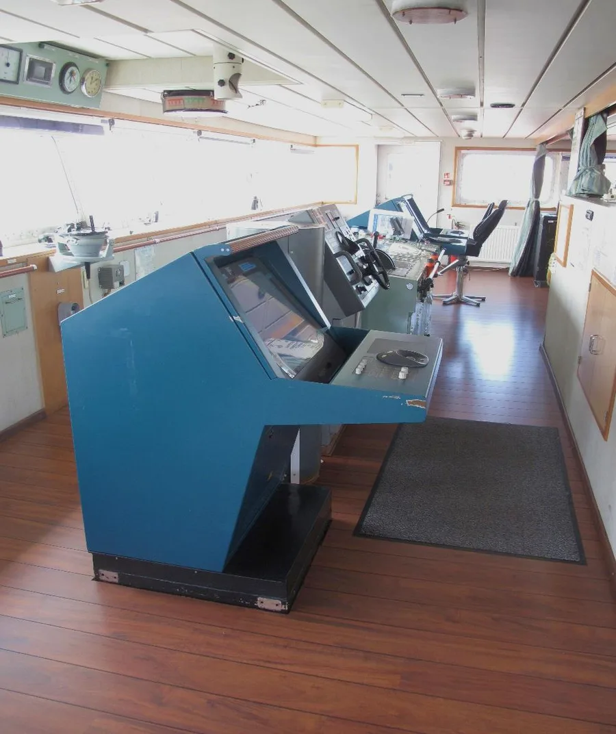
Trials like this exist precisely because a data standard is only as good as the equipment and workflows built around it. A feature catalogue that looks clean on paper can still produce a cluttered or ambiguous display if the portrayal rules aren't tested against how navigators actually read a screen under time pressure. That is the real value of moving from published specification to simulator trial to eventual sea trial: each stage surfaces problems a standards document alone cannot.
What This Means for Surveyors and Chart Makers
S-100 is not a project that survey teams need to wait a decade to care about. Because the framework rewards data collected and structured with its product specifications in mind from the start, the practical shift is already underway in how bathymetric, tidal, and current data get processed and delivered — well before any ECDIS on a bridge is legally required to read it. The chart itself is becoming just one layer in a much larger, extensible system, and the hydrographic offices, survey companies, and equipment makers that treat their data as S-100-ready today will be the ones whose products slot cleanly into that system as it matures — rather than the ones scrambling to convert a decade of legacy formats once the 2029 deadline actually arrives.
References
- IHO (International Hydrographic Organization), "S-100 Universal Hydrographic Data Model," https://iho.int/en/s-100-universal-hydrographic-data-model
- IHO, "S-100 based Product Specifications," https://iho.int/en/s-100-based-product-specifications
- IHO, "IHO S-101 to S-199," https://iho.int/en/iho-s-101-to-s-199
- UKHO / Admiralty, "S-100 Timelines Explained," https://www.admiralty.co.uk/news/s-100-timelines-explained
- UKHO / Admiralty, "S-57 to S-101: Explaining the IHO Standards for ECDIS," https://www.admiralty.co.uk/news/s-57-s-101-explaining-iho-standards-ecdis
- International Hydrographic Review (IHR), "Conversion of Electronic Navigational Charts from S-57 to S-101 Standard Format," https://ihr.iho.int/articles/conversion-of-electronic-navigational-charts-from-s-57-to-s-101-standard-format/
- Wikipedia, "S-100 (chart)," https://en.wikipedia.org/wiki/S-100_(chart)
- NOAA, "S-100 Data Formats," https://marinenavigation.noaa.gov/s100.html
Related Articles