Hidrografi
Submarine Freshwater Pipeline Survey: The Depth Reading That Can Cancel a Project
An oil or gas pipeline survey exists to protect a high-pressure asset carrying a hazardous product; a submarine telecommunications or power cable survey exists to protect a thin, expensive line carrying signal or current. A submarine freshwater pipeline survey serves a different master entirely: a low-pressure line carrying something people are going to drink, running between a mainland source and an island that often has no other reliable option. That combination — low operating pressure, a contamination-sensitive product, and a customer base with few alternatives if the line fails — shapes what the survey has to check before a single meter of pipe goes in the water, and in at least one well-documented Indonesian case, the survey result was the reason the project never got built at all.
Why This Isn't Just a Smaller Version of an Oil and Gas Survey
Transboundary oil and gas pipelines are engineered around internal pressures that can reach tens or hundreds of bar and a geohazard survey scope built around avoiding fault ruptures and slope failure over decades of service life. Submarine freshwater mains run at a fraction of that pressure — inter-island drinking water lines using HDPE pipe are typically specified around 16–20 bar nominal pressure — but they carry a product where a single breach doesn't just lose flow, it risks drawing in seawater or contaminants through the same opening, turning a mechanical failure into a public health problem. That risk profile pushes the survey scope toward route stability and burial depth sufficient to avoid anchor strikes and fishing gear, in much the same way a power cable survey does, but the design tolerance for allowing any seawater ingress at all is far less forgiving than it is for a data or power line.
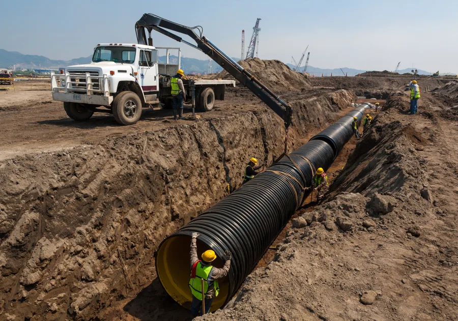
The technical route survey itself uses the same core toolkit as any other seabed pipeline or cable route survey — bathymetry to fix the seabed profile, sub-bottom data to characterize what the pipe will bed into, and current and wave data to size the concrete ballast collars or anchoring needed to keep a low-density HDPE pipe from floating off its planned route. Installation methods such as the "TJ-19" technique used on several Indonesian inter-island freshwater projects assemble the pipe string on the surface and lower it into position, a process explicitly constrained by wave height at the time of installation — meaning the metocean survey isn't just a design input, it also dictates the weather window the installation vessel has to work in.
Case Study: The Ternate–Hiri Crossing That the Survey Killed
Indonesia's North Maluku River Basin Authority (Balai Wilayah Sungai Maluku Utara) planned a submarine freshwater pipeline from Sulamadaha on Ternate to the neighboring island of Hiri, whose residents had long struggled to access clean water. A depth survey of the strait, conducted as part of the project's technical feasibility work, found the crossing exceeded 100 meters at its deepest point — a depth at which the anticipated current loading on the pipe was judged too strong for the planned design to withstand reliably. Combined with an estimated construction cost of roughly Rp 100 billion against a population of only a few thousand residents on Hiri, the project was shelved rather than built. It is a clean illustration of what makes a pre-installation survey for this specific application different from a route survey for cable or oil and gas work: the survey wasn't just optimizing a route around hazards, its depth and current findings were themselves the deciding factor in whether the project proceeded at all.
The Other Half of the Problem: What the Survey Can't Fix After Installation
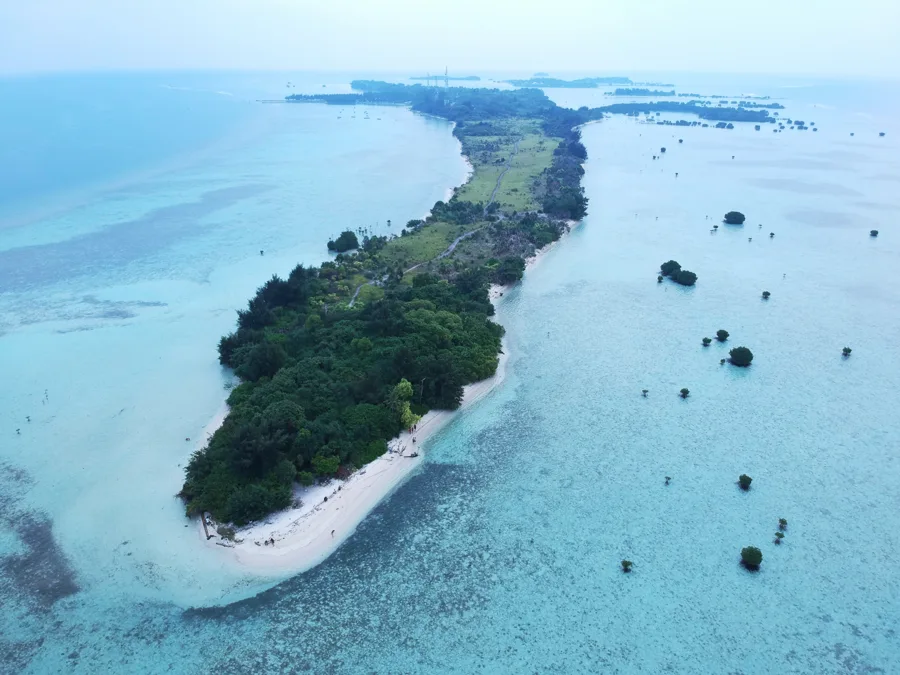
A finished submarine freshwater pipeline still depends on the water quality reaching the point of use, and the survey and monitoring work does not stop once the pipe is in the ground. On Pari Island in Jakarta's Kepulauan Seribu (Thousand Islands) archipelago — a small island of roughly 1,400 residents dependent on limited groundwater and piped supply — a household water study found that piped water sources met physical and chemical health standards but failed to meet the standard for total coliform bacteria, underscoring that a structurally sound pipeline is not the same thing as a safe one. Because very small islands like Pari often have no natural freshwater source large enough to support their population, an inter-island pipeline or a seawater reverse osmosis plant becomes one of the only realistic long-term supply options, which is exactly why route and quality surveys for these projects carry consequences a mainland utility upgrade rarely does: there frequently isn't a fallback source if the project fails or the water quality declines.
A Survey Scope Built Around Consequence, Not Just Complexity
None of the individual survey techniques used on a submarine freshwater pipeline are unique to this application — bathymetry, sub-bottom profiling, and current measurement all appear on oil, gas, and cable route surveys covered elsewhere. What changes is what the numbers are used to decide. A pressure-rated hydrocarbon line is designed to survive the hazards a geohazard survey identifies; a freshwater crossing survey can just as easily be the reason a project stops being planned. On a line whose failure risks either losing an island's only realistic water source or contaminating it, that lower tolerance for residual risk — not any single instrument on the survey vessel — is what actually separates this kind of survey from its higher-pressure cousins.
References
- Suyono, T. et al., "Inter-Island Freshwater Pipeline Installation Technology with TJ-19 Method," Civil Engineering and Architecture (HRPUB), https://www.hrpub.org/download/20220930/CEA27-14826574.pdf
- "Stability Analysis of Underwater Pipeline Inter Island for Drinking Water," Proceedings of the International Conference on Science and Technology (Atlantis Press), https://www.atlantis-press.com/proceedings/icst-18/55910869
- Harian Halmahera, "BWS Batal Bangun Pipa Air Bersih Bawah Laut ke Hiri," https://harianhalmahera.com/maluku-utara/bws-batal-bangun-pipa-air-bersih-bawah-laut-ke-hiri/
- "Water Sources, Consumption, and Water-Related Sanitation on Pari Island, Indonesia: A Mixed-Focus Group Discussion and Survey Study," AQUA — Water Infrastructure, Ecosystems and Society (IWA Publishing), https://iwaponline.com/aqua/article/72/8/1359/96336/
- American Water Works Association, AWWA C906 Standard for Polyethylene (PE) Pressure Pipe and Fittings, https://www.awwa.org/
- "Assessment of Shallow Groundwater Contamination on Pari Island, Indonesia," ResearchGate, https://www.researchgate.net/publication/365209153
Related Articles

Geohazard Survey for Transboundary Pipelines: One Route, Multiple Jurisdictions
Cable Burial Risk Assessment: Why Deeper Isn't Always the Answer