Platforms & Survey Operations
Survey Data Ownership: Who Can Reuse Your Survey Data?
Survey data ownership decides what you can do with your results after the vessel leaves. Many clients assume that paying for a survey means owning everything it produced. The contract may say otherwise. This article explains raw data, processed data, assignment and licence, and the clauses to agree before you sign.
Why survey data ownership is often asked too late
Most clients think about data ownership only when a second project needs the same seabed information. By then the survey is finished and the contractor has been paid. If the contract is silent, nobody can say for certain who may reuse the data.
The question matters because data can have value long after the survey. A pipeline route survey may feed a later design study. A port survey may be needed again for a dredging tender. If you cannot hand the data to a new contractor, you may have to pay for the same measurements twice.
Raw data, processed data and reports are different things
The word "data" can mean three different things. Your contract should name each one.
- Raw data is what the instruments record, such as multibeam soundings, sound velocity casts and navigation logs.
- Processed data is raw data after cleaning, correction and gridding. Tide and sound velocity corrections are typical steps.
- Final products are the report, charts, maps and digital terrain models that you receive at the end.
Indonesian law makes a similar split. Under Law No. 4 of 2011 on Geospatial Information, geospatial data describes location and characteristics of objects. Geospatial information is that data after processing, so that it can support decisions. This is the wording of the 2011 unofficial English translation.
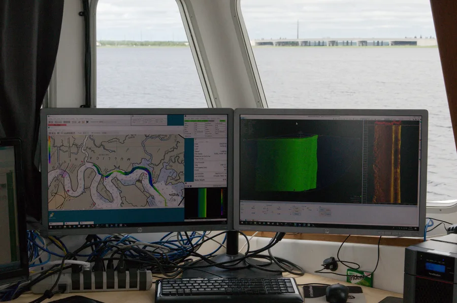
Why does this split matter? A contract that only promises a "final report" may give you a PDF and nothing else. A new contractor cannot reprocess a PDF. If you want to reuse the data, ask for raw data in an open format and for the processed grids. The guide to survey report deliverables lists what a complete package usually contains.
Assignment or licence: two ways to hand over rights
There are two common models. In an assignment, the contractor transfers its rights, mainly copyright, to the client. The client then owns the data. In a licence, the contractor keeps the rights and gives the client permission to use the data under stated conditions.
An assignment example from NOAA
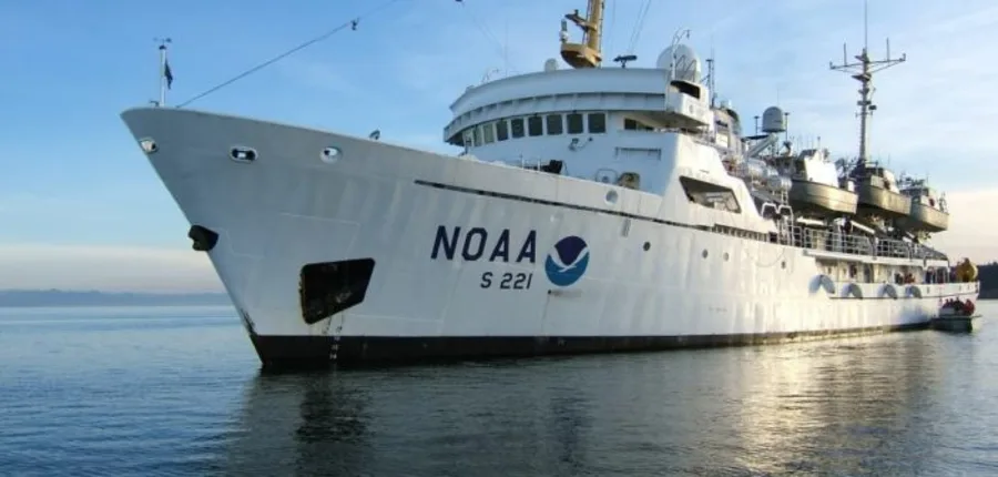
The US National Oceanic and Atmospheric Administration (NOAA) shows the first model. According to NOAA's Office of Coast Survey data licensing policy (September 2022), its hydrographic survey contracts should include clause FAR 52.227-17. That clause requires the contractor to assign any potential copyright in the collected data to NOAA when the contracting officer asks. NOAA then releases the data to the public under CC0, a public domain dedication, unless the data is sensitive.
A licence example from UKHO
The UK Hydrographic Office (UKHO) shows the second model. Its re-use licence template states that rights in bathymetry data belong to the Crown or to custodian organisations. The licensee receives the data only for the purposes of the agreement. That template covers non-navigation, non-commercial uses and limits further reuse by end users. It also includes supply and licence fees. So access to data can be conditional and paid for, even when a state body holds it.
Both are examples from government agencies. They are not standards that automatically apply to a private contract in Indonesia. Use them to see what the options look like.
Licences need clear terms
A draft guidance document from the International Hydrographic Organization (IHO), dated April 2018, explains why licences matter. In most jurisdictions, intellectual property rights stop third parties from using or sharing data without explicit permission. Even data that is publicly available may not be free to reuse. The draft names three common licence conditions: attribution, share-alike and non-commercial use. Check each one. A non-commercial licence, for example, would block use in a commercial project. Remember that this is a draft, not a final standard.
Clauses to write into the contract and scope of work
Put these points in the contract or the scope of work. The scope of work guide for hydrographic tenders shows where such items fit in a tender document.
- Definitions. Define raw data, processed data and final products separately.
- Owner. State who owns each layer after delivery. Choose assignment or licence.
- Licence scope. If it is a licence, say which projects it covers, for how long, and whether it can pass to affiliates or new contractors. Say whether derived products are allowed.
- Survival. Say whether your rights continue if the contract ends early or a payment dispute starts.
- Format. List the file formats you will receive, including metadata such as the reference system and quality information.
- Third-party data. Ask the contractor to list any data or software licences that sit inside the deliverables.
- Storage. Agree who keeps the archive, and for how long.
Payment terms also affect data rights. Ask when your rights to the data begin. Is it at delivery, at final payment, or earlier? Data work is a cost item, so the hydrographic survey cost breakdown helps you judge what each deliverable is worth.
Contractor reuse, public sharing and reporting to the state
Contractors sometimes want to keep a copy. They may use anonymised data for research or send bathymetry to public projects. An IMCA guide on sharing bathymetry through Seabed 2030 describes how companies can contribute data. It also refers to guidance on the authorisations needed from clients and states for data collected in territorial or exclusive economic zone waters. The detailed text of that guidance was not reviewed for this article, so check it directly if you plan to share. If confidentiality matters to you, write a confidentiality clause with a time limit.
Indonesia adds state rules that run alongside your contract. Law No. 4 of 2011, in its original text, says that anyone making a commercial derivative product from certain geospatial information must get permission from the owner of that information (Article 50). It also says users have the right to know the quality of the information, and providers must publish it through metadata or data history (Article 49). Article numbers refer to the 2011 text. The law was later amended through the Job Creation legislation, and rules in this area can change. Check the latest consolidated text before relying on it.
The state may also require you to report survey results to the hydrographic authority. Ask the contractor who handles reporting and permits. Make sure your confidentiality clause does not conflict with legal duties to report.
Common mistakes
- Assuming that paying for the survey means owning all the data.
- Accepting only a final report and no raw data.
- Leaving the licence silent on other projects and other contractors.
- Ignoring third-party data inside the delivered products.
- Not agreeing who stores the archive.
Takeaway
Good survey data ownership terms are short and specific. Define each data layer, choose assignment or licence, and say clearly how you can reuse the data. Show the draft to a legal adviser before signing. For help specifying and checking deliverables, see our data processing service, and for survey planning see hydrographic and bathymetry survey.
References
- NOAA Office of Coast Survey, "Office of Coast Survey Data Licensing Policy," NOAA, September 2022, https://www.nauticalcharts.noaa.gov/hsrp/meetings/2022/fall/docs/Office-of-Coast-Survey-Data-Licensing-Policy+Sept2022.pdf
- NOAA Office of Coast Survey, "Data Licensing," NOAA, https://nauticalcharts.noaa.gov/data/data-licensing.html
- IHO Marine Spatial Data Infrastructures Working Group, "Guidance for Data Licensing," Draft v0.1, IHO, April 2018, https://iho.int/uploads/user/Inter-Regional%20Coordination/MSDIWG/MSDIWG10/MSDIWG10-11.1C-Guidance_for_Data_Licensing.pdf
- UK Hydrographic Office, "UKHO Re-use Licence template," UKHO, https://copyright.ukho.gov.uk/Docs/Licence_Agreements/Reuse/UKHO_Re-use_Licence_template.pdf
- IMCA / Seabed 2030, "Sharing your bathymetry data through Seabed 2030: Why is it important and how to do it?," IMCA, 2024, https://www.imca-int.com/media/gtlpeqfb/seabed-2030-guide-imca-v2.pdf
- Republic of Indonesia, "Law No. 4 of 2011 on Geospatial Information" (unofficial English translation), 2011, https://peraturan.go.id/files2/uu-no-4-tahun-2011_terjemah.pdf
- BPK JDIH, "UU No. 4 Tahun 2011 Informasi Geospasial" (status and amendment history), https://peraturan.bpk.go.id/Details/39136/uu-no-4-tahun-2011
Related Articles