Geofisika & Geohazard
Monitoring Coral Reef and Mangrove Restoration: Why Planting Is the Easy Part
Planting coral fragments or mangrove seedlings takes a morning. Proving they are still alive, still growing, and actually rebuilding an ecosystem takes years of repeated survey work — and a growing body of evidence shows that most restoration projects never get that follow-through. A widely cited review found that roughly 60% of coral restoration projects report less than 18 months of monitoring, while researchers studying mangrove restoration across Southeast Asia and Latin America have found that around 70% of planting efforts fail to establish a healthy forest at all. The gap between the two numbers is the same in both cases: a planting day generates a good photo, but only a monitoring survey generates evidence of whether the ecosystem actually took hold.
A Different Question From Mapping a Reef Once
Passive habitat mapping — walking a multibeam echosounder over a reef or classifying backscatter to identify seafloor types — answers what is there right now, in a single pass. Restoration monitoring asks a harder question: is this specific patch of reef or mangrove healthier than it was last year, and is that change caused by the intervention or by something else entirely? That requires repeat surveys of the same fixed plots over time, not a one-off characterization, and it is why restoration programs build monitoring into the project budget from day one rather than treating it as an afterthought once the planting is finished.
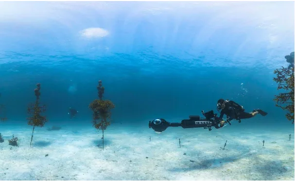
For coral, the current standard combines three survey types: diver-based visual surveys scoring live cover and colony condition, photographic and video surveys including 3D photogrammetry, and — at larger scales — acoustic backscatter mapping to track how the reef structure itself is changing. Photogrammetric monitoring works by having divers swim fixed transects over an outplant site with an overlapping series of photographs, anchored to permanent ground control points fixed to the substrate, which are later stitched into a photomosaic or 3D model precise enough to measure individual colony growth between visits.
Case Study: Mission: Iconic Reefs, Florida Keys
Mission: Iconic Reefs, launched by NOAA in January 2021, is the largest coral restoration project in the United States, targeting seven reefs across the Florida Keys National Marine Sanctuary over a planned twenty-year timeframe. Its monitoring program, run by NOAA's National Centers for Coastal Ocean Science, uses large-area photogrammetry and Structure from Motion imaging to capture the seafloor before and after restoration work, with divers collecting baseline imagery referenced to fixed ground control points so that colony size, survival, species density, and broader changes in the benthic community — including macroalgae and sponge cover — can all be tracked against the same physical reference points visit after visit, rather than against an estimate.
That long monitoring horizon exists because coral survival data collected too early is misleading. Massive and encrusting coral species can show survival rates as high as 90% one year after transplantation, but survival tends to decline as colonies face additional stress events over subsequent years — meaning a project that stops monitoring at 18 months, as roughly 60% of documented projects do, is likely reporting a number that overstates long-term success. Among the handful of large-scale coral restoration projects — over a hectare in size — that have published multi-year survival data, the average settles closer to 80%, still respectable, but only knowable because someone kept surveying long after the planting crews had gone home.
Why Mangrove Restoration Fails Before the First Survey Even Starts
Mangrove restoration has a distinct failure mode that a monitoring survey alone cannot fix: choosing the wrong site in the first place. Research into hydrological classification for mangrove restoration has found that unfavorable hydrology — the wrong tidal inundation regime, salinity outside a species' tolerance, or sediment conditions that won't hold seedlings in place — is one of the most common causes of failure, and that this mismatch is often invisible from a simple elevation survey alone. One frequently cited example from the Philippines involved more than a million mangrove saplings planted in a single hour across a site that included open mudflat and a river channel; only around 20,000 trees, all near the river, showed any trace of survival. The lesson survey teams have taken from cases like this is that a pre-planting hydrological and site-suitability survey is not optional groundwork — it is the single intervention most likely to determine whether a restoration project succeeds or simply becomes another data point in the roughly 70% failure statistic.
Case Study: Indonesia's National Mangrove Rehabilitation Target
Indonesia's own experience illustrates the same gap at national scale. In 2020, the government set a target of rehabilitating 600,000 hectares of mangrove ecosystem by 2024 under the Peatland and Mangrove Restoration Agency (Badan Restorasi Gambut dan Mangrove, BRGM). The agency reported strong early progress — 34,911 hectares restored in 2021 against a 30,000-hectare annual target — but by December 2024 cumulative rehabilitation stood at roughly 150,000 hectares, about 25% of the national goal. A nationwide suitability mapping exercise later found that only around 193,367 hectares, roughly 30% of the target area, actually met the hydrological and land-status conditions needed for restoration to succeed at all. That mapping work — remote sensing and field survey used to screen candidate sites before a single seedling goes in the ground — is now treated as a precondition for the program's later phases rather than a formality, precisely because so much of the shortfall traces back to land that was never suitable to begin with.
Remote sensing has become central to monitoring what happens after planting as well. Multispectral and NDVI-based analysis from drones and satellites lets monitoring teams track canopy density and vegetation health across far more area than diver or foot surveys ever could, flagging stressed or dying stands early enough to intervene — the same logic that drives multispectral UAV mapping projects now used to classify mangrove genus and cover across Indonesian sites such as Lancang Island in the Kepulauan Seribu archipelago.
Monitoring as the Deliverable, Not an Add-On
Both ecosystems point to the same conclusion from different directions: coral restoration monitoring exists to catch the delayed mortality that short studies miss, while mangrove restoration monitoring increasingly has to start before planting, screening sites so the project isn't building on hydrology that was never going to work. In both cases, the actual deliverable of a serious restoration program is not the planting event itself but the multi-year survey record proving — or disproving — that it worked. A funder, regulator, or community reading a restoration report should be asking not "how many corals were outplanted" or "how many hectares were planted," but "how long was this monitored, and against what fixed reference points."
References
- Boström-Einarsson, L. et al., "Coral Restoration – A Systematic Review of Current Methods, Successes, Failures and Future Directions," PLOS ONE, https://journals.plos.org/plosone/article?id=10.1371%2Fjournal.pone.0226631
- NOAA National Centers for Coastal Ocean Science, "Evaluation of Coral Reef Restoration Success at Mission: Iconic Reefs Using Photogrammetry," https://coastalscience.noaa.gov/project/evaluation-of-coral-reef-restoration-success-at-missioniconic-reefs-using-photogrammetry/
- van Bijsterveldt, C.E.J. et al., "Hydrological Classification, a Practical Tool for Mangrove Restoration," PLOS ONE, https://journals.plos.org/plosone/article?id=10.1371/journal.pone.0150302
- Mongabay, "Why So Many Mangrove Restoration Projects Fail," https://news.mongabay.com/short-article/2026/02/why-so-many-mangrove-restoration-projects-fail/
- Mongabay, "Indonesia's Mangrove Restoration Will Run Out of Land Well Short of Target, Study Warns," https://news.mongabay.com/2023/03/indonesias-mangrove-restoration-will-run-out-of-land-well-short-of-target-study/
- Journal of Geoscience, Engineering, Environment, and Technology, "Classification and Distribution of Mangrove Genus Using Multispectral UAV in the Waters of Lancang Island, Kepulauan Seribu, Indonesia," https://journal.uir.ac.id/index.php/JGEET/article/view/17195
Related Articles
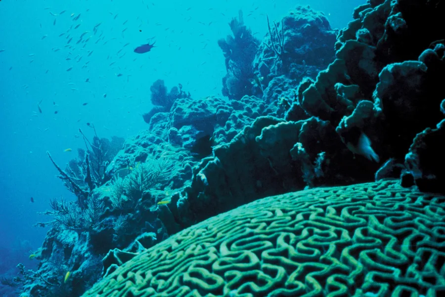
Mapping Coral Reefs With Acoustic and Optical Data: Two Senses, Not One
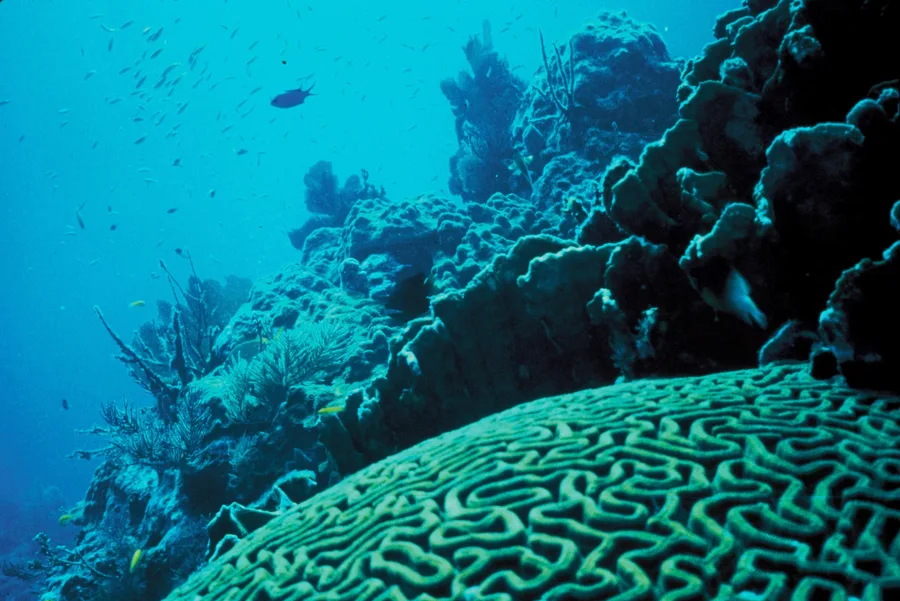
Benthic Habitat Mapping: Turning Backscatter and Ground-Truth Into a Seafloor Ecosystem Map