Geofisika & Geohazard
Ocean Bottom Node Seismic: Watching a Producing Reservoir Change While the Field Is Still Live
A towed streamer survey is very good at one thing: taking a single, high-quality snapshot of the subsurface. It is much less good at taking that same snapshot twice, years apart, and being confident that any difference between the two images is real geology and not just an artifact of the boat sailing a slightly different line the second time. That repeatability problem is exactly what ocean bottom node (OBN) seismic was built to solve — by taking the receivers off a moving cable and setting them down, fixed, on the seafloor itself, so that watching a reservoir drain over years becomes a measurement rather than a guess.
A Different Receiver, Not Just a Different Boat
Our companion article on multichannel seismic reflection covers how a towed-streamer survey works: a vessel drags an array of hydrophones through the water, recording the echoes of sound reflected off subsurface layers along the boat's track. That geometry is efficient for covering large areas quickly, but it comes with two structural limits. First, a hydrophone-only streamer can only record pressure waves (P-waves) — it is physically incapable of sensing shear waves (S-waves), which carry independent information about rock rigidity that pressure waves alone cannot provide. Second, because both the source and the receivers are moving with the boat, the range of angles and directions from which any one subsurface point gets illuminated — its azimuth coverage — is narrow and constrained by the sail lines, which limits imaging quality directly beneath platforms, in complex salt geology, or anywhere the boat cannot safely sail a full range of headings.
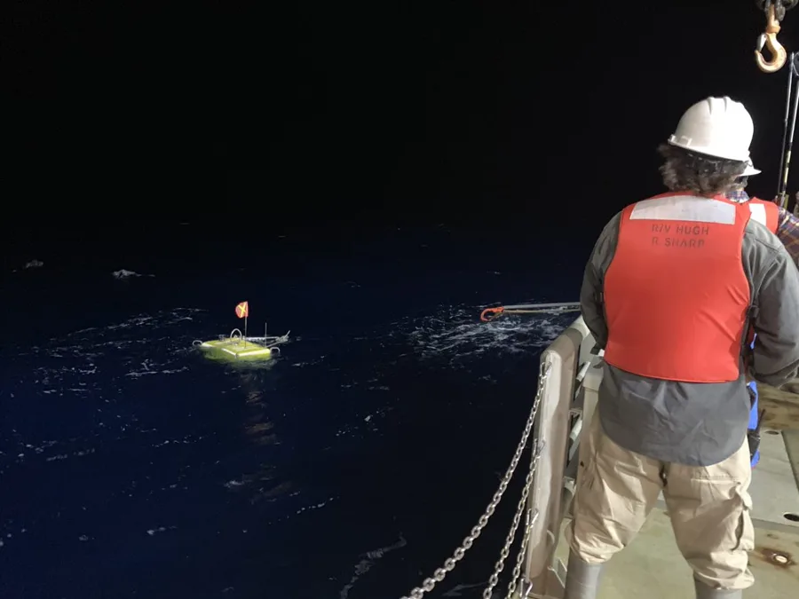
OBN acquisition breaks the source and the receiver apart entirely. Nodes — compact, self-contained instrument packages roughly the size and weight of a fire extinguisher, typically rated to 3,000 metres water depth — are placed directly on the seafloor by ROV, in patterns numbering from hundreds to several thousand across a survey area, and left to record continuously and autonomously on battery power for days to weeks at a time (modern designs push battery endurance past 65 days, with some systems now approaching 100 days, and onboard storage sufficient for roughly 75 days of continuous recording at fine sample intervals). While the nodes sit still, a separate source vessel fires shots across the survey area from as many directions as the survey design calls for. Because the receivers do not move and the source can approach from any azimuth, an OBN survey delivers full-azimuth illumination — every recorded subsurface point is seen from a genuinely wide range of angles, not just the handful of headings a streamer boat could sail.
Each node also carries a genuine four-component (4C) sensor package — a hydrophone plus three orthogonal geophones (commonly 8 Hz) capable of resolving particle motion in all three spatial directions, along with inclinometers that record the node's exact tilt on the seafloor so its geophone orientations can be corrected in processing. That geophone package is what gives OBN its second core advantage over streamers: because geophones sense ground motion directly rather than pressure alone, a 4C node records shear-wave energy as well as pressure-wave energy, adding rock-property and fluid-discrimination information a hydrophone-only streamer cannot capture at all.
From Cables Fixed to the Seabed to Nodes You Can Pick Up and Move
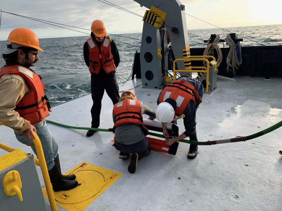
Placing receivers directly on the seafloor is not itself a new idea — "bay cable" ocean-bottom-cable (OBC) systems were already in limited use in roughly 10 metres of water back in the 1950s, and the modern era of OBC acquisition is generally credited to Geophysical Service Inc.'s Joe Sanders and Fred Barr, whose work the Society of Exploration Geophysicists recognized with its Virgil Kauffman Gold Medal in 1995. What changed with OBN was cutting the physical umbilical: instead of one long cable connecting every receiver back to a recording vessel, each node is a free-standing, self-recording unit that a ROV can place and later retrieve individually, without ever laying or hauling a continuous cable across the seabed. Eivind Berg, working with James Martin and Bjørnar Svenning, was recognized with the same Kauffman medal in 1999 for the technical work behind this shift, and Berg went on to found SeaBed Geophysical, the first company built specifically around node-based acquisition.
The technology moved from concept to commercial scale quickly once the node itself was proven. Early 2D case studies using ocean bottom nodes appeared in the North Sea in the 1990s, followed by more substantial 2D and 3D pilot surveys in the early 2000s across the Gulf of Mexico, the North Sea, and West Africa. SeaBed Geophysical's own survey for Pemex at Mexico's Cantarell field in 2003–2004 — deploying more than 1,500 nodes by ROV across roughly 230 km² — is cited as an early demonstration of the method at meaningful scale, and the first full 3D OBN survey followed in 2004–2005 in the southern Gulf of Mexico. Adoption stayed modest for several years afterward — through 2008, the industry was acquiring only one or two full 3D OBN surveys worldwide per year — before node fleets, ROV deployment logistics, and processing capacity matured enough to make OBN a routine acquisition choice in producing offshore basins.
Why 4D Monitoring Specifically Needs What OBN Delivers
4D seismic means acquiring the same 3D survey more than once over the same field, years apart, and interpreting the differences between vintages as evidence of what happened inside the reservoir in between. Three physical mechanisms drive the seismic response that 4D is built to detect: fluid saturation changes (water displacing oil raises acoustic impedance; gas displacing oil lowers it), pore pressure changes (falling pressure stiffens rock and raises velocity, injection has the opposite effect), and rock compaction in unconsolidated reservoirs as pore pressure depletes over the life of production. How strongly a given field displays this response varies a great deal by rock type — North Sea chalk reservoirs such as Ekofisk and Valhall are noted for producing very strong 4D signals, Brent-type sandstones produce moderate signals, and tight carbonates tend to show weaker responses — but in every case, detecting a real signal depends on one thing above all: repeatability. If the source and receiver positions, orientations, and coupling to the earth are not nearly identical between the baseline survey and the repeat monitor survey, differences introduced purely by acquisition geometry will swamp the small, genuine differences caused by years of production. A streamer towed by a boat on a slightly different heading, at a slightly different tow depth, in slightly different sea state, is a much harder thing to repeat precisely than a set of nodes that can, in the case of permanent installations, occupy the exact same physical position on the seafloor survey after survey.
Case Study: Valhall — Twelve Surveys and Three Decades of the Same Chalk Reservoir
BP's Valhall field in the Norwegian North Sea is widely described as the reference case for 4D seismic in a chalk reservoir. The time-lapse record there began with a 1992 streamer survey, followed by a 1997 ocean-bottom-cable survey and a repeat streamer survey in 2002. In 2003, BP installed a permanent Life-of-Field Seismic (LoFS) array — at the time, the world's largest permanent seismic array on the seafloor — covering an area of roughly 6 by 11 kilometres with more than 2,200 fixed receiver stations. With that permanent array in place, monitor surveys have been acquired one to three times per year since November 2003, capturing the field's response to a major central water-injection program that started in January 2004 and was extended to the field's northern flank in 2008. Across more than a dozen 4D surveys spanning three decades — moving from towed streamers, to ocean-bottom cable, to node-based systems — BP has credited the resulting time-lapse series with materially improving the field's recovery by guiding infill well placement to bypassed oil that the surveys revealed. Equinor's Gullfaks field, monitored at roughly three-to-four-year intervals since the mid-1990s, offers a second data point at similar scale: 4D surveys there identified reservoir compartmentalization in the Brent formation that was not visible before production began, and tracked gas-cap expansion and water-encroachment fronts in the Statfjord reservoir, with the resulting incremental recovery estimated in the hundreds of millions of barrels relative to a no-4D baseline case.
Making Deep-Water OBN Cheaper: On-Demand Nodes
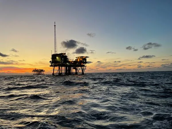
A permanent seafloor array like Valhall's LoFS is a major capital installation, and it is not the only path to repeatable 4D monitoring. A more recent development, On-Demand Ocean Bottom Nodes (OD OBN), launched in 2018 as a collaboration between Shell, Petrobras, the Brazilian research institute SENAI CIMATEC, and node-positioning specialist Sonardyne, targets a cheaper alternative aimed specifically at Brazil's geologically complex, deep-water pre-salt fields. Rather than installing a permanent cabled array, the approach uses nodes that can be deployed, recovered, and redeployed for successive monitor surveys as needed — retaining much of the repeatability benefit of a fixed installation without the upfront cost of permanently cabling the seafloor, which matters for operators who want a 4D monitoring program on a field where a multi-thousand-station permanent array is not economically justified. In deep water more broadly, node-based monitoring has also proven itself as a way to survey close around platform legs, risers, and other subsea infrastructure that towed streamers simply cannot approach safely.
A Slower, More Deliberate Way to See the Same Ground Twice
Nothing about OBN acquisition is faster than towed-streamer work — placing and retrieving hundreds or thousands of individual nodes by ROV is a slower, more labour- and vessel-intensive operation than sailing a boat back and forth trailing a cable. That trade-off is precisely the point. Streamer surveys remain the efficient, lowest-cost-per-square-kilometre choice for open-water exploration where the objective is one good image, not a comparable series of images over time. OBN earns its added cost specifically where the objective changes — where a field is already producing, where the same patch of seafloor needs to be re-measured with near-identical geometry every year or two for a decade or more, and where the value of the answer is not "what does the reservoir look like" but "what has changed inside it since the last time anyone looked."
References
- Offshore Industry, "4D Seismic Monitoring and Ocean Bottom Node Surveys: The Technology of Watching Reservoirs Drain in Real Time," https://offshoreindustry.co.uk/4d-seismic-monitoring-and-ocean-bottom-node-surveys-the-technology-of-watching-reservoirs-drain-in-real-time/
- GeoExpro, "Taking the Plunge: How Nodes Can Navigate Ocean Bottom Seismic Into the Mainstream," https://geoexpro.com/taking-the-plunge-how-nodes-can-navigate-ocean-bottom-seismic-into-the-mainstream/; see also "Ocean-Bottom Nodal Seismic," https://geoexpro.com/ocean-bottom-nodal-seismic/
- SEG Wiki, "Ocean-bottom node," https://wiki.seg.org/wiki/Ocean-bottom_node
- Shearwater Geoservices, "Ocean Bottom Nodes | Advanced Seismic Receivers," https://www.shearwatergeo.com/acquiring-data-receivers-obn
- Sonardyne, "Pioneering a New Era in Deepwater Seismic Monitoring: OD OBN," case study, https://www.sonardyne.com/case-study/od-obn-on-demand-ocean-bottom-nodes-for-deepwater-4d-seismic-monitoring/; see also Marine Technology News, "On-Demand Ocean Bottom Node: A New Era in Deepwater Seismic Monitoring," https://www.marinetechnologynews.com/news/demand-ocean-bottom-deepwater-660953
- Valhall Industriminne, "Life of Field Seismic System on Valhall," https://valhall.industriminne.no/en/life-of-field-seismic-system-on-valhall/
- Ridder, S.A.L. de, and Biondi, B., "Time-lapse seismic noise correlation tomography at Valhall," Geophysical Research Letters, Wiley Online Library, https://agupubs.onlinelibrary.wiley.com/doi/full/10.1002/2014GL061156
- U.S. Geological Survey Woods Hole Coastal and Marine Science Center, "Ocean Bottom Seismometer Recovery," https://www.usgs.gov/media/images/ocean-bottom-seismometer-recovery
Related Articles
Multichannel Seismic Reflection in Practice: The Coelacanth Discovery in the Gulf of Mexico
Seismic Refraction Survey: Reading Bedrock Depth Before You Design the Foundation
