Oseanografi
Site Surveys for Offshore Aquaculture: Finding Water That Will Actually Grow Fish
Most of the surveys covered in this series exist to find a hazard or characterise a seabed before something gets built on it. An offshore aquaculture site survey is asking a different kind of question: not "is this location safe to build on," but "will fish, shellfish, or seaweed actually thrive here, for years, without wrecking the water quality around them." That distinction changes which instruments matter and how the resulting data gets used — by the farm operator, and increasingly, by the regulator deciding whether to grant a permit at all.
Depth and Current Are Not Independent Numbers
Site-selection guidance for open-ocean aquaculture gives ranges rather than fixed rules, because the right depth depends on the current running through it, and vice versa. Small-scale producers can work in 5 to 20 metres of water; typical operational guidance widens that to 10 to 30 metres; and for larger cage systems, anchoring becomes the limiting factor — one widely cited minimum for secure mooring of larger cages is around 36.5 metres, while depths beyond about 50 metres sharply raise mooring cost and complexity. Current speed has its own working range, roughly 0.2 to 1.5 knots: too slow, and waste and uneaten feed accumulate under the cage instead of dispersing; too fast, and the fish expend excess energy holding position, while the mooring system faces higher loads. A survey that measures depth without current, or current without depth, only answers half the siting question.

What a Baseline Environmental Survey Actually Contains
In U.S. federal permitting practice, this work is formalised as a Baseline Environmental Survey (BES) — required before an operator can even apply for the discharge and habitat permits a farm needs. A BES is not a single instrument but a bundle: a seafloor survey using side-scan sonar, sub-bottom profiling, and magnetometry to characterise the seabed and rule out obstructions or archaeological sensitivity; hydrographic and oceanographic measurements covering current speed and direction through the water column; and water-quality and sediment sampling establishing a pre-farm baseline that later monitoring gets compared against. That last point matters as much as the physical siting data: regulators typically require an applicant to keep sampling water quality, sediment, and benthic conditions at both a background location and near the cage, at a frequency tied to how much fish biomass is in the water — meaning the "survey" doesn't end when the permit is issued, it continues for the life of the farm.
Case Study: A Small Demonstration and an Eight-Year Permit
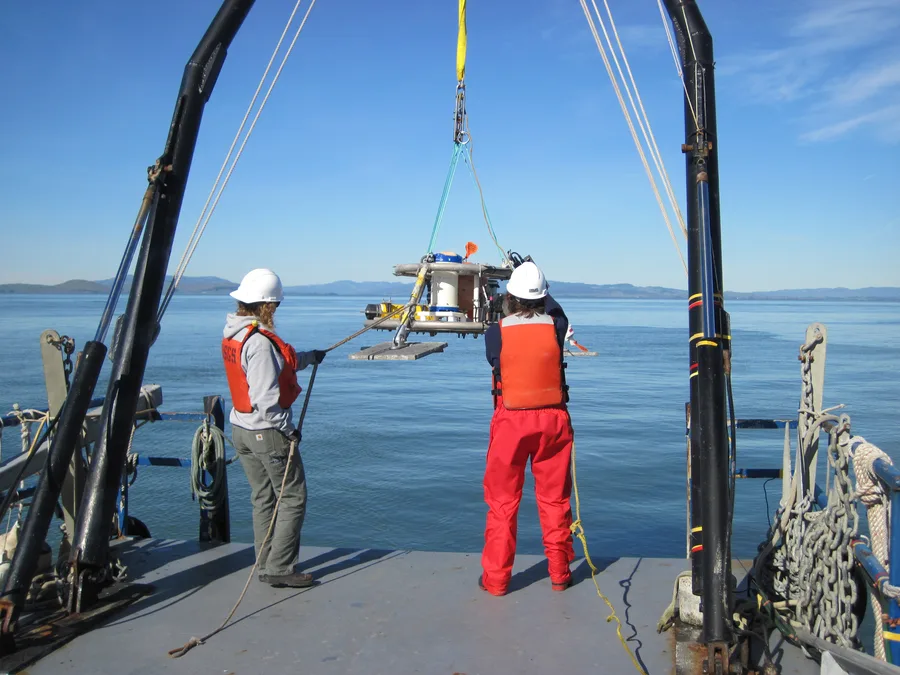
Two projects run by the same Hawaii-based company, roughly a decade apart, show how far the surveying and permitting burden has grown. Between 2011 and 2014, Ocean Era (then Kampachi Farms) ran the Velella Beta and Velella Gamma demonstration projects off the Kona coast of Hawaii — small net-pen arrays close to shore that, as a side effect, acted as fish-aggregating devices popular with the local fishing community, and were named one of TIME Magazine's Best Inventions of 2012. The company's next major project, Velella Epsilon, is a single net pen roughly 40 miles offshore in the Gulf of Mexico intended to culture about 20,000 red drum over a year — a modest production scale on paper, but one that required a Baseline Environmental Survey covering side-scan sonar, sub-bottom profiling, magnetometry, and hydrographic measurement, followed by an Environmental Assessment, an Essential Fish Habitat Assessment, and an Ocean Discharge Criteria Evaluation before the EPA issued a final NPDES discharge permit with a Finding of No Significant Impact in September 2020. Even then, the remaining permits needed to actually begin construction were not finalised until 2026 — an eight-year process from first proposal to clearance, for what will be the first open-ocean finfish aquaculture project permitted in U.S. federal waters.
Screening for Sites Before Anyone Applies for a Permit
Partly in response to permitting timelines like that one, NOAA has started doing large-scale site screening in advance, before any individual operator files an application. Its Aquaculture Opportunity Area (AOA) programme ran a GIS-based suitability analysis across more than 200 spatial data layers — covering everything from bathymetry and currents to shipping lanes, fishing grounds, and protected areas — to pre-identify areas likely to be environmentally, socially, and economically workable for aquaculture. That analysis has so far proposed nine areas in the Gulf of Mexico and ten in the Southern California Bight, each between 500 and 2,000 acres, intended to give a future applicant a head start on the site-suitability question a full BES would otherwise have to answer from zero.
The Framework Behind the Numbers
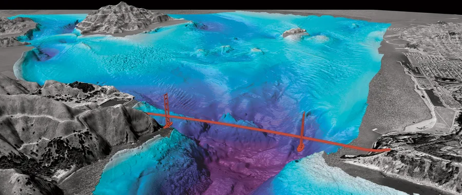
Internationally, the FAO frames this same siting problem around ecological carrying capacity under its Ecosystem Approach to Aquaculture — the idea that a site survey should establish not just whether a location can physically hold a farm, but how much production the surrounding water body can absorb without degrading. That framing is why a modern offshore aquaculture site survey increasingly looks less like a one-off site characterisation and more like the opening chapter of a monitoring programme that runs for as long as the farm operates — bathymetry and current data decide where the cages go, and the same instruments, repeated on a schedule, decide whether the site keeps working afterward.
References
- Frontiers in Aquaculture — Site Selection for Aquaculture of Extractive Species in Open Ocean Environments: A Systematic Review
- Marine Technology Society Journal — Site Selection Criteria for Open Ocean Aquaculture
- U.S. EPA — Ocean Era, Inc. — Velella Epsilon Aquatic Animal Production Facility NPDES Permit
- SeafoodSource — US Army Corps of Engineers Will Hear Public Comment on Velella Epsilon
- Perishable News — After 8 Years, Final Permit Issued for Gulf Offshore Aquaculture Demonstration Project
- NOAA Fisheries — Aquaculture Opportunity Areas
- NOAA — NOAA Analyses to Inform Aquaculture Siting in Gulf of Mexico and Southern California
- FAO — Chapter 1: Considerations in the Selection of Sites for Aquaculture
Related Articles
Acoustic Doppler Current Profiler: Measuring Currents Instead of Depth
Benthic Habitat Mapping: Turning Backscatter and Ground-Truth Into a Seafloor Ecosystem Map