Hidrografi
RTK-Tide as an Alternative to the Tide Gauge in Depth Reduction
A hydrographic survey off Key West, Florida once turned up a quietly alarming discrepancy: at the same moment, the official NOAA tide gauge and RTK GPS measurements taken three miles away in the main ship channel disagreed on the water level by about 0.3 feet. Neither instrument was malfunctioning. The tide simply doesn't rise and fall in perfect unison across an entire survey area — and a single fixed tide gauge, however accurate at its own location, has no way of knowing that.
The Problem with a Single Fixed Tide Gauge
The conventional method of depth reduction assumes tide behaves the same way across a survey area as it does at the gauge, adjusted at most by a simple correction table for distance and time lag. In reality, tide phase and amplitude can vary meaningfully over just a few miles, particularly in channels, estuaries, and areas with complex bathymetry that distort the tidal wave as it propagates. The Key West case is a clean illustration: a 0.3-foot discrepancy sounds small until it's applied to a dredging payment survey, where every tenth of a foot of misjudged clearance can mean paying for material that wasn't actually removed, or worse, certifying a channel depth that isn't really there.
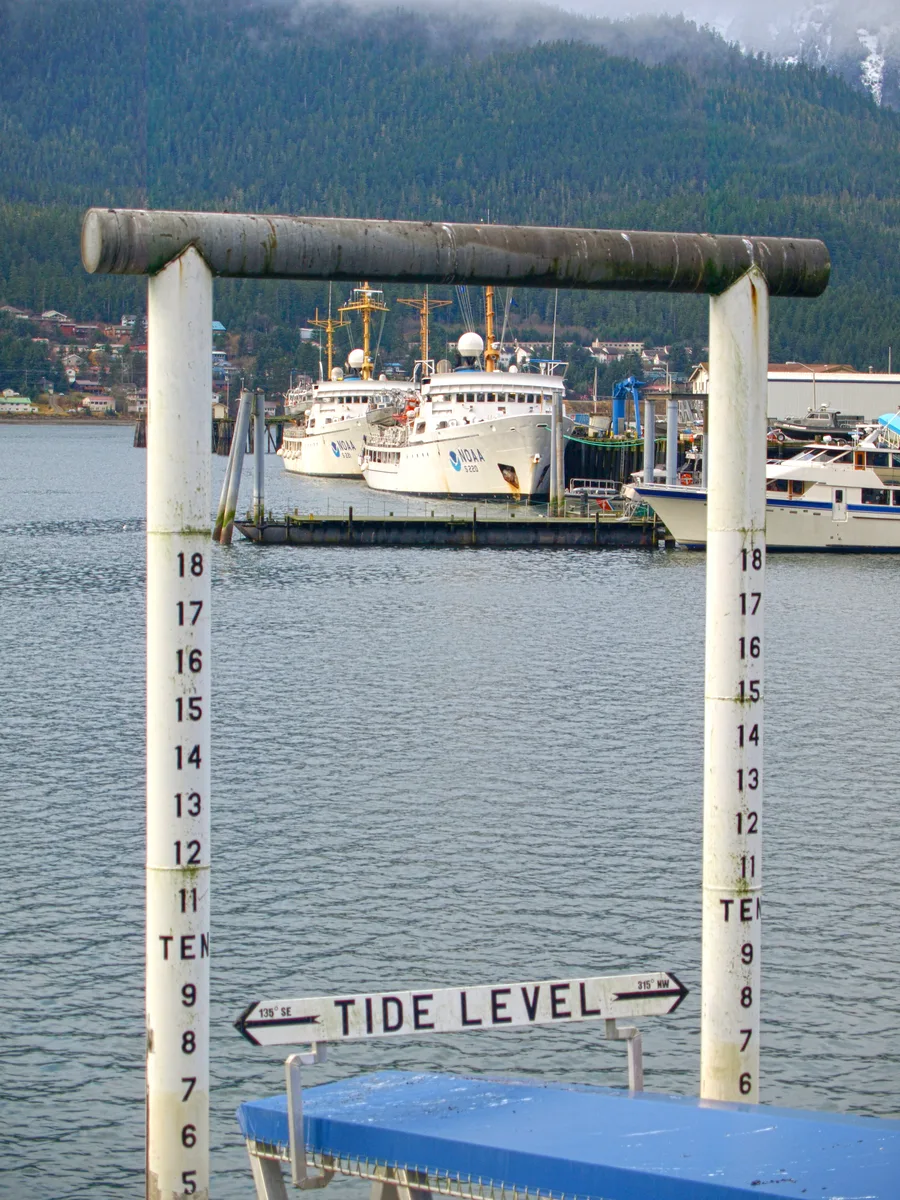
A fixed tide gauge is also vulnerable to distortions that have nothing to do with the astronomical tide at all — wind-driven set-up, storm surge, and barometric pressure changes can all shift the water surface at the gauge's location without necessarily doing the same thing, by the same amount, at the vessel's actual position out in the survey area.
How RTK-Tide Works
RTK-tide replaces the fixed gauge with the survey vessel itself. An RTK GNSS receiver on board continuously tracks the ellipsoidal height (the Z-coordinate) of the vessel's antenna relative to a mathematical reference ellipsoid — a measurement that has nothing to do with the tide directly, but that changes in lockstep with the vessel as it rides up and down on the real water surface. Run that ellipsoidal height through a geoid model (which describes the separation between the ellipsoid and mean sea level) and then through the appropriate orthometric-to-chart-datum correction, and the result is a continuously updated water-level measurement computed at the vessel's own position, in real time, without a shore-based tide gauge in the loop at all.
In effect, the vessel becomes its own moving tide gauge. Because the measurement is taken exactly where the depth soundings are being collected, RTK-tide sidesteps the spatial-variation problem entirely, and because it's a direct positioning measurement rather than an inference from a distant gauge, it is largely unaffected by the wind-driven and storm-related water-level anomalies that can distort a fixed station's readings.
What It Takes to Make This Work
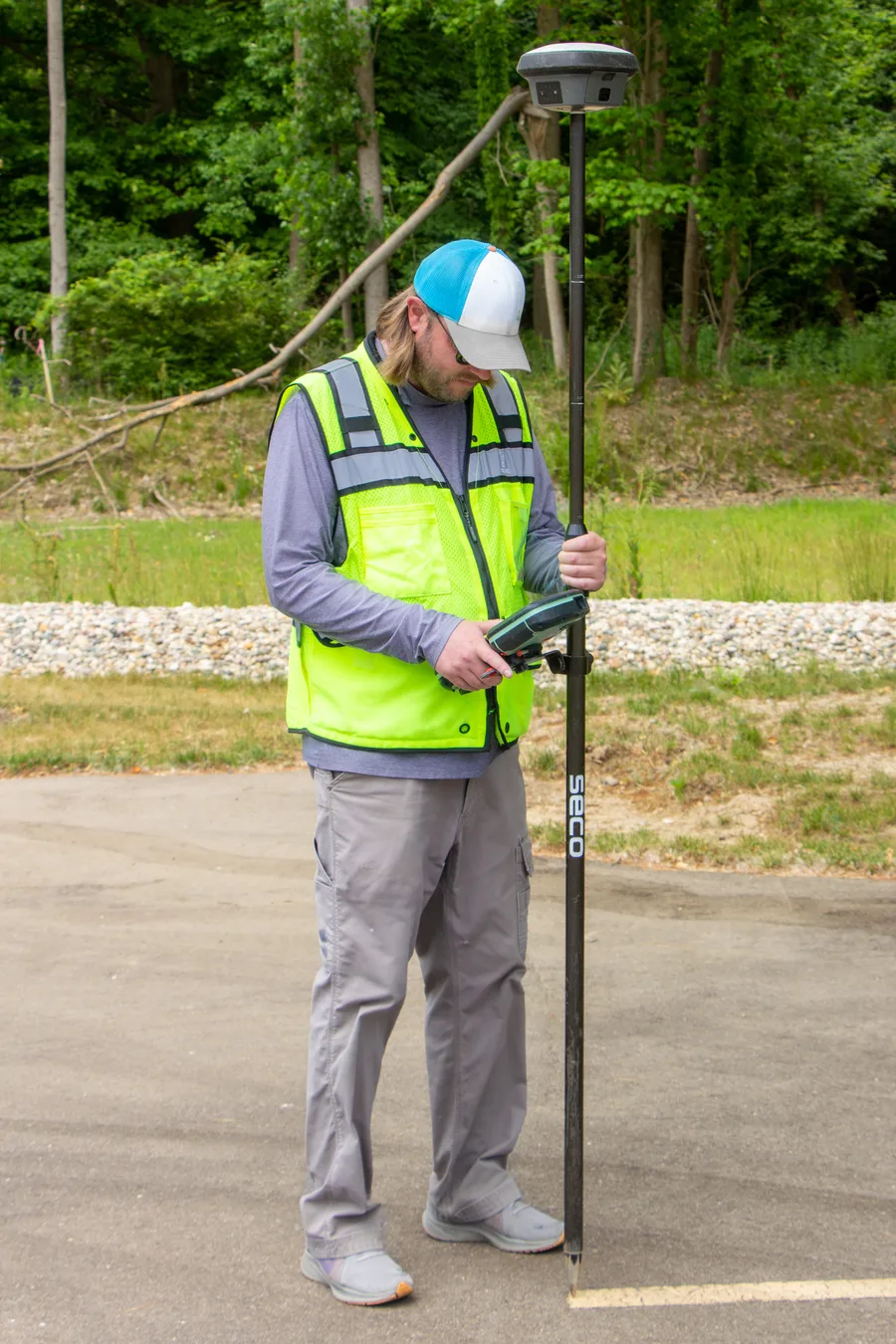
RTK-tide depends on a live, sufficiently accurate correction stream reaching the vessel, delivered via an NTRIP internet service, a UHF radio link to a shore base station, or the survey team's own dedicated base station. Accuracy degrades predictably with distance from that correction source: roughly 0.6 cm horizontal and 1.0 cm vertical error right at the base station, climbing to about 1.1 cm horizontal and 2.0 cm vertical at 10 kilometres, and further out to around 3.1 cm horizontal and 6.0 cm vertical at 50 kilometres. Single-base RTK is generally considered usable out to about 20 kilometres from the correction source; network RTK, which blends corrections from multiple reference stations, extends that practical working radius to roughly 100 kilometres.
The geoid model requirement is just as important as the baseline distance, and arguably less forgiving. Where a high-quality, well-surveyed geoid model exists for the area — as it does across much of the coastal United States and other well-mapped regions — RTK-tide can perform very well. Where the geoid-to-ellipsoid relationship for a given coastline is poorly known, or where ellipsoidally referenced surveying isn't otherwise supported by the local geodetic infrastructure, that missing piece breaks the method regardless of how good the GNSS positioning itself is, and a physical tide gauge remains the only workable option.
Where It Falls Short
RTK-tide is not a universal replacement for the tide gauge, and the U.S. National Ocean Service's own error-budget guidance reflects that reality: the allowable contribution of tide and water-level error to a survey's total error budget runs between about 0.20 and 0.45 metres at 95% confidence, depending on how complex the local tidal regime is — and the more complex the tide, the more that budget tightens. Beyond the 20 to 100-kilometre practical range of RTK correction sources, in deep water with straightforward, well-predicted tidal patterns, or in regions with weak geodetic infrastructure, conventional tide-gauge-based reduction remains the more dependable choice, not an outdated fallback.
A related but distinct approach — global-correction GPS systems such as Real-Time GIPSY (RTG), which use dual-frequency processing and precise satellite orbit and clock corrections rather than a local RTK base station — has been tested specifically as a worldwide alternative for tidal measurement. In trials at five static receiver locations spread across different continents, RTG achieved a vertical accuracy of roughly 0.35 metres at 95% confidence, consistent across all the test sites. That is a meaningfully coarser result than a well-configured local RTK-tide setup can achieve close to its base station, which is exactly why the technique is positioned as a verification check and a backup during tide-station outages, rather than a primary depth-reduction method for a precision hydrographic survey.
Not a Replacement, a Precision Upgrade Where Conditions Allow
The Key West discrepancy is the argument for RTK-tide in miniature: a fixed gauge is only ever telling you the truth about the water level at one specific point, and the further a survey moves from that point, the more that single number can quietly diverge from reality. Where a solid geoid model and a nearby RTK correction source both exist, turning the survey vessel into its own tide gauge measurement point removes that divergence at the source. Where either of those two conditions is missing, the century-old discipline of the fixed tide gauge is still doing exactly the job it was built for.
References
- CEE HydroSystems, "Using RTK GPS for Water Surface Elevation Correction ('RTK Tides')," http://www.ceehydrosystems.com/wp-content/uploads/2019/04/Survey_Notes_Introduction_to_RTK_Tides_for_Hydrographic_Surveying.pdf
- Eye4Software, "Using RTK Tide Corrections," Hydromagic Hydrographic Survey Software Documentation, https://www.eye4software.com/hydromagic/documentation/manual/recording-data/rtk-tide-corrections/
- Hydro International, "GPS for Global Tidal Measurements," https://www.hydro-international.com/content/article/gps-for-global-tidal-measurements
- Low-Cost Multi-GNSS, Single-Frequency RTK Averaging for Marine Applications: Accurate Stationary Positioning and Vertical Tide Measurements, Marine Geodesy, https://www.tandfonline.com/doi/full/10.1080/01490419.2023.2208289
- RTK Data, "RTK Accuracy vs Baseline Distance: The Limits," https://rtkdata.com/blog/ntrip-rtk-accuracy-vs-distance/
- NOAA, "NOS RTK Team Final Report," Office of Coast Survey, https://tidesandcurrents.noaa.gov/publications/rtkteamfinal.pdf
- Waterway Guide, "Surveying America's Waterways with USACE," https://www.waterwayguide.com/knowledge-center/news-post/11851/surveying-americas-waterways-with-usace
Related Articles